Description
Hike on the Auto-Pédestre route Pétange
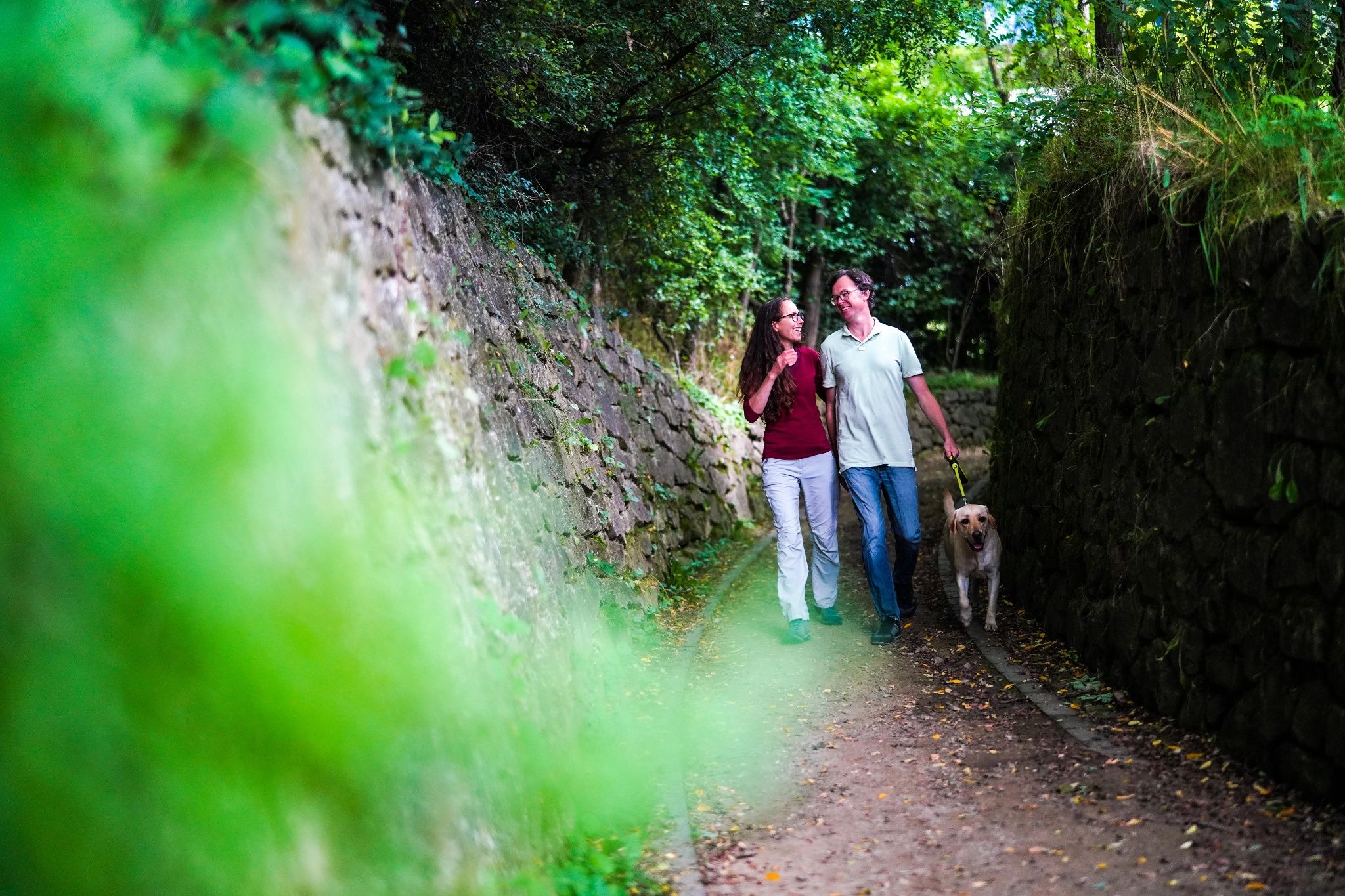
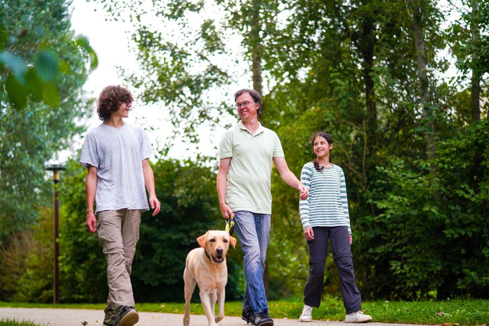
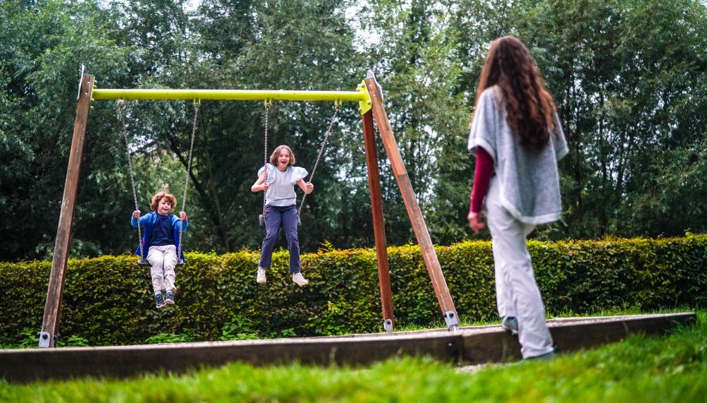
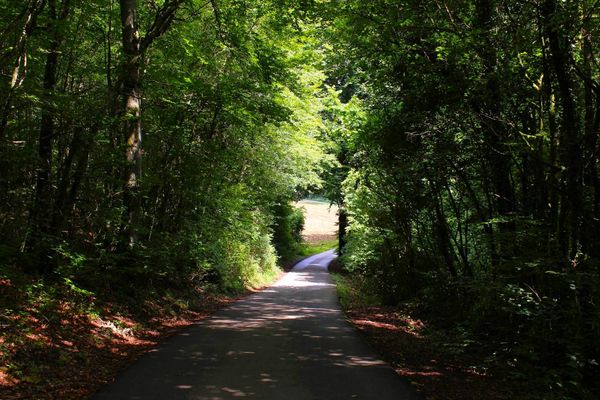
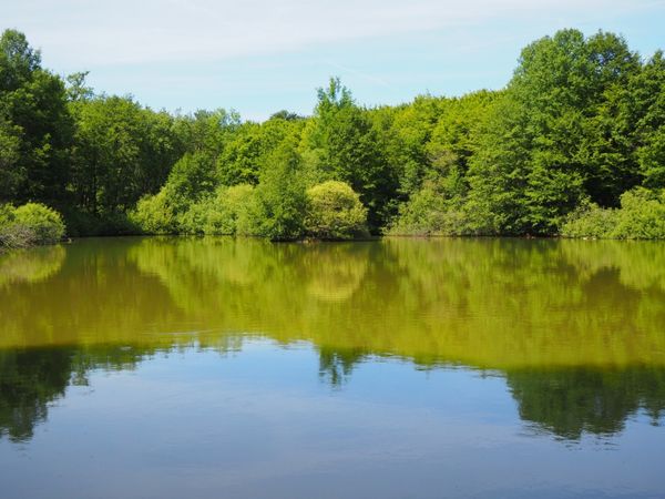
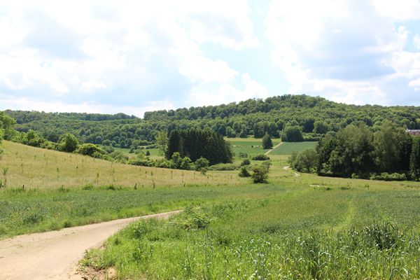
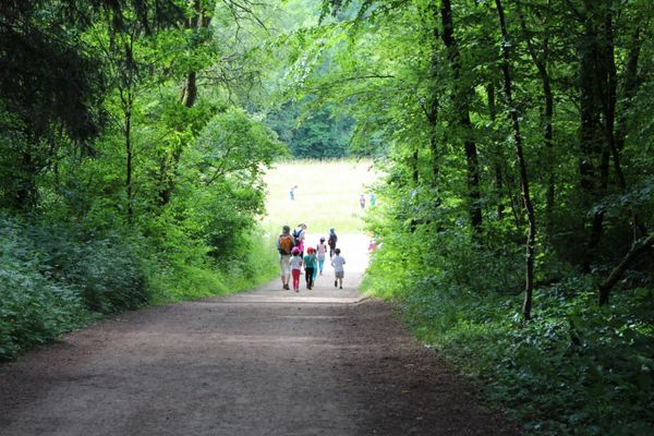
At the beginning of the Auto-Pédestre, the hustle and bustle of the city can still be heard until you reach the quiet forests. Nevertheless, the route already has a lot to offer here: you walk along the "Kuer" brook through the city park and past fish ponds that invite you to take a short break. Afterwards, it goes into the surrounding forests of Pétange. The path runs close to the border with Belgium, which is why you repeatedly encounter border stones. In the forest, you also come across other brooks and ponds.
Local products are available for purchase right by the wayside at the "Kuerbuttek" on rue Pierre Hamer, run by CIGL Pétange. Here you'll find only regional, seasonal, organically grown fruits and vegetables, as well as pickled and preserved goods such as fruit and jams, traditional workmanship items, vinegars and oils, and small decorative items, all handmade.
A short drive away is the Brasserie Nationale in Bascharage, Luxembourg's largest brewery, which produces the Bofferding, Battin, and the organic Funck-Bricher beers. Here you can also book tastings, take a guided tour, dine at the "Braustuff" restaurant, and even stay overnight at the "Brauhotel" located directly across the street.
The route is marked in both directions; follow the blue diamond on a white background.
Directions
Please follow the signage with the blue diamond on a white background.
For your safety
Please remember to wear sturdy footwear and weather-appropriate clothing.
Equipment
Please remember to bring enough food and drinking water
Journey
The bus stop Pétange, Op der Millen (Tennis) is located at the starting point.
Getting there:
Take the A13 to the Pétange exit and follow the road to the town center
Parking:
Public parking spaces are available on site.


 This website uses technology and content from the Outdooractive Platform.