© Pulsa Pictures, Pulsa Pictures & ORT Sud
Minett Germany France

Minett Trail: Pétange Gare - Differdange Gare

Hunting Season 2024/25 — Check for hunts before hiking

Autumn is here, and that means hunting season has begun! From mid-October to January/February, hunters are active across the country. Stay safe by checking hunt dates in your area on our Map. 

Click on Map in the Header > Services > More > Hunting.

Starting point
Parking "Train 1900", Avenue de la Gare, Pétange
Destination
Gare Differdange, Rue Emile Mark, Differdange
Distance
15,70 km
Duration
4:35 h
Difficulty
medium
  • Condition
Highest point
419 Hm
Lowest point
288 Hm
Aggregated Ascent
326 Hm
Aggregated Descent
309 Hm
Minett Trail Visit Luxembourg

Description

Scenic Refreshment stops available
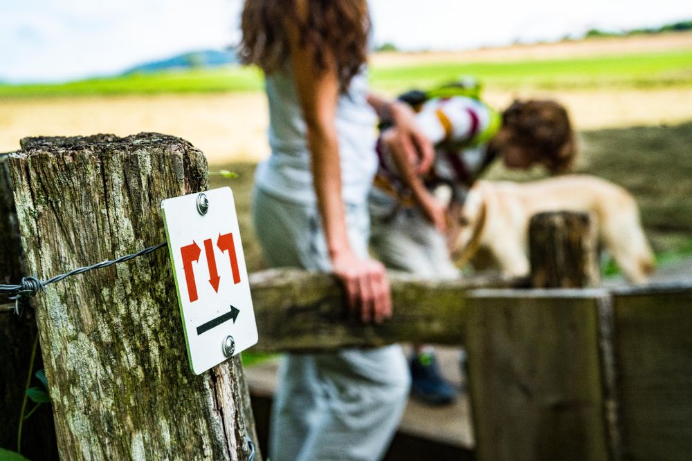
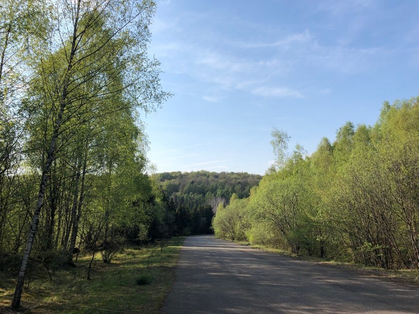
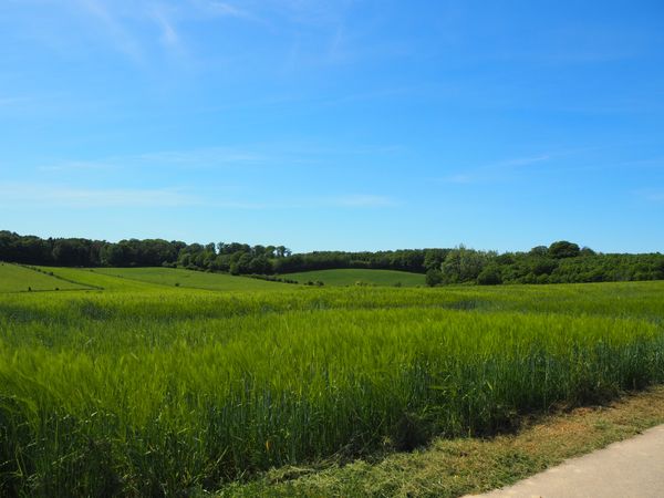
Hike the regional Minett Trail between Pétange and Differdange train stations and discover the diversity of the regions nature and several of its historic mining areas.

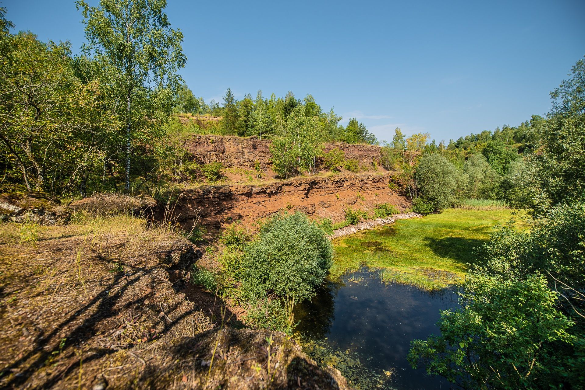
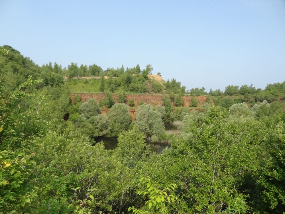
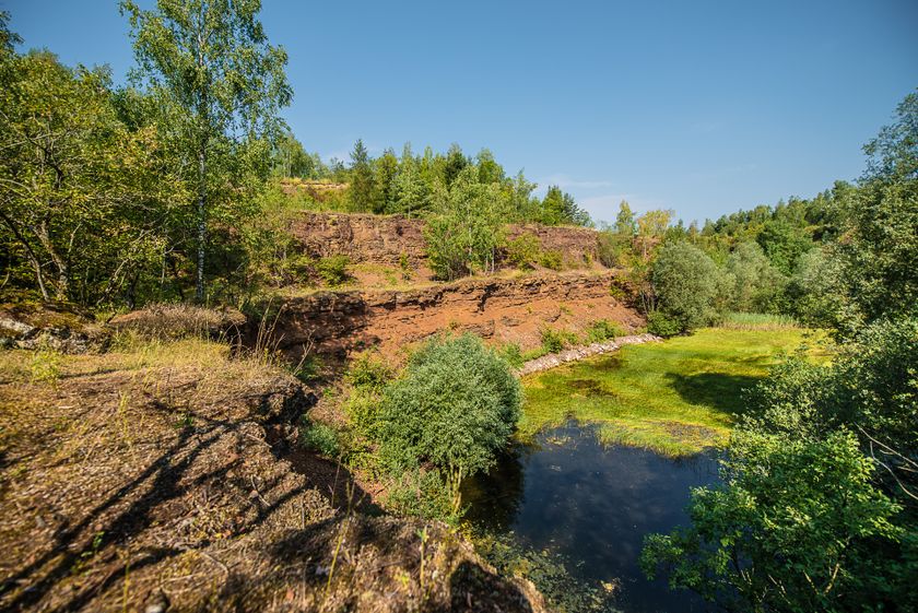
The Minett Trail leads trough the Minett Region on 90 kilometres. You can split the trail in ten stages on which you can discover little villages and bigger cities, but also hike through eight nature reserves. These charm visitors with their old woods and former open pit mines whose cliffy rock faces, red rocks and pit brows are unique in Luxembourg.

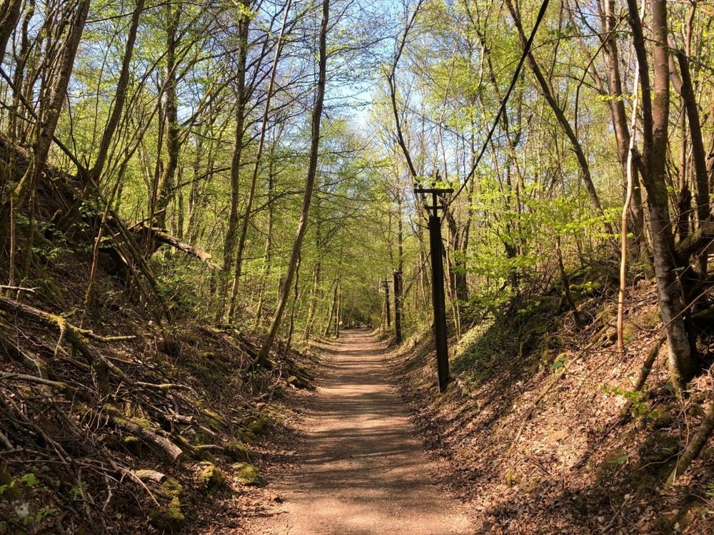
On this section you hike through the Prënzebierg - Giele Botter nature reserve, through the Fond-de-Gras and through the little village of Lasauvage, which lies directly on the French border. You walk through dense forests and renatured mining areas and can discover how nature has reclaimed the landscape.

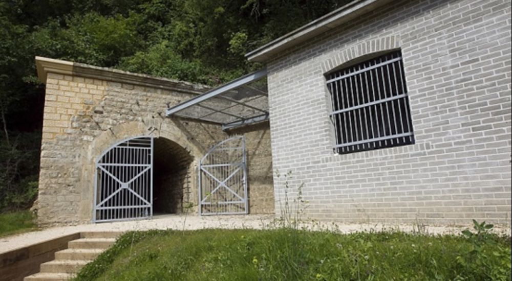
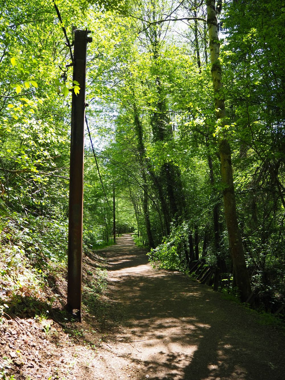
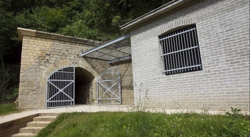
On the route you will discover many remnants of the eventful past in the mining area: sections of the route of the former 'Bremswee' of the 'Buggies' for example - those lorries with which the precious ore was transported away from the mining area. In the Prënzebierg - Giele Botter area you can admire man-made terraces where quarrying dug deep into the rock. You might even discover entrance of a mine, which is inhabited by bats nowadays. The path is otherwise richly filled with old witnesses of the industrial past: electricity pylons, remains of a rail network and more. From the village of Lausauvage in the direction of Differdange, the path also leads along the 'Crosnière' stream.

Please make sure to enable your Cookies in case you don't see this content.

Winners of the Tourism Awards 2023

The entirety of the "Minett Trail" and its 11 "Kabaisercher" were a finalist at the second edition of the Luxembourg Tourism Awards in 2023.

On July 14. the project won the Tourism Award 2023 in the category "Gîtes" - a recognition of all the hard work and dedication to a premium tourism offer put on display by all the partners involved in the "Minett Trail" project.


Please make sure to enable your Cookies in case you don't see this content.

Suggestions nearby

Minett Trail: Pétange Gare - Differdange Gare

  • © Pulsa Pictures
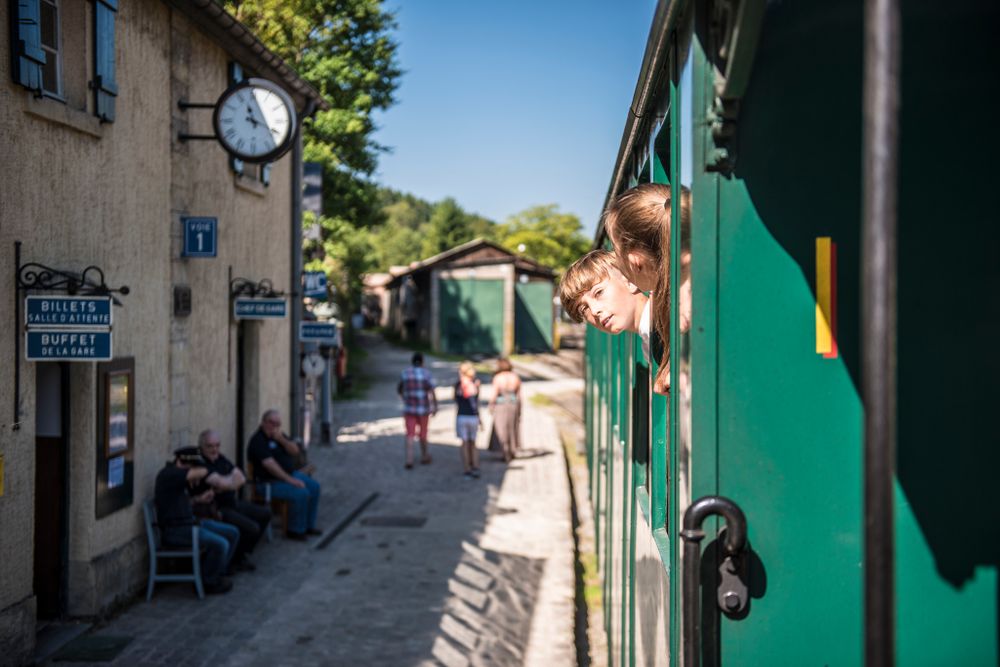
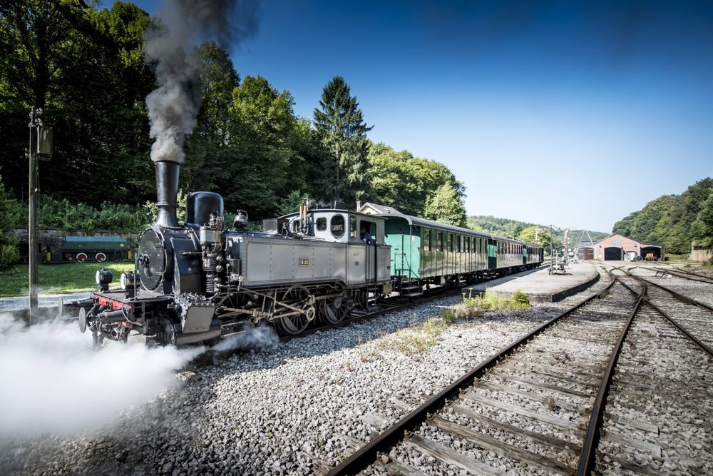
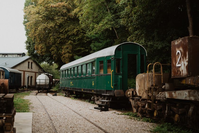
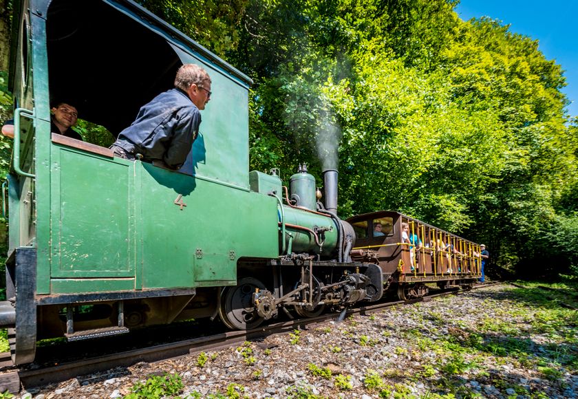
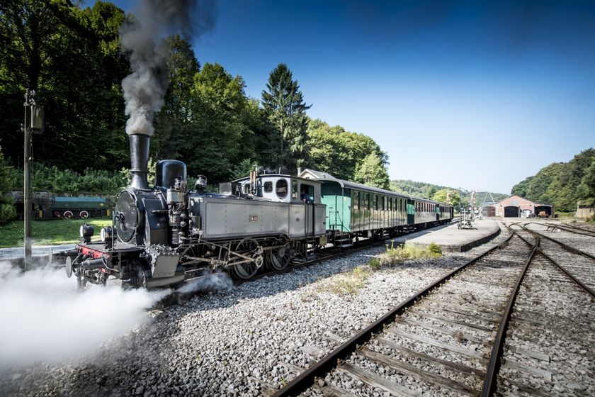
    Historical steam train "Train 1900"
    Fancy a journey back in time ?
    Find out more
  • © Pulsa Pictures
    Minett Park Fond-de-Gras
    The Minett Park Fond-de-Gras is an open-air museum that includes the Fond-de-Gras, the village of Lasauvage, the former open-cast mine of Giele Botter and the Celtic oppidum of Titelberg.
    Find out more
  • © Espace Muséologique Lasauvage
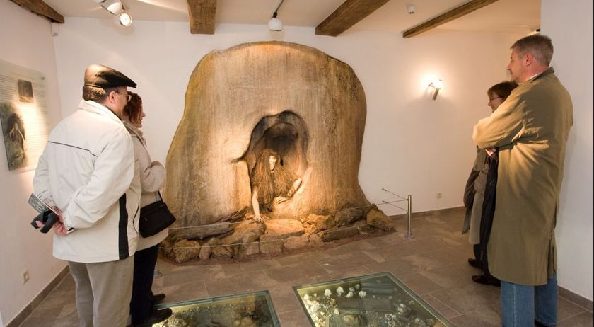
    Espace Muséologique de Lasauvage
    This life-size reconstruction takes you back to the days of the Second World War when a group of young Luxembourgers hid in a mine to escape the obligation to serve in the German army and wear the Nazi uniform.
    Find out more
  • © Pulsa Pictures & ORT Sud
    Nature reserve "Prënzebierg - Giele Botter"
    Nature has the final word
    Find out more

  • No image available
    Titelberg - Parc Industriel et Ferroviaire
    Titelberg - Parc Industriel et Ferroviaire, Fond-de-Gras
    Find out more
  • Nature reserve "Kiemerchen / Scheiergronn / Groussebësch"
    Nature reserve "Kiemerchen / Scheiergronn / Groussebësch"
    Find out more
  • © ORT SUD
    Mine Grôven
    Visit Differdange’s historic mine
    Find out more
  • © Science Center
    free
    with theLuxembourgCard
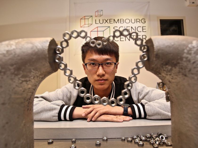
    Luxembourg Science Center
    Interactive Discovery Center
    Find out more
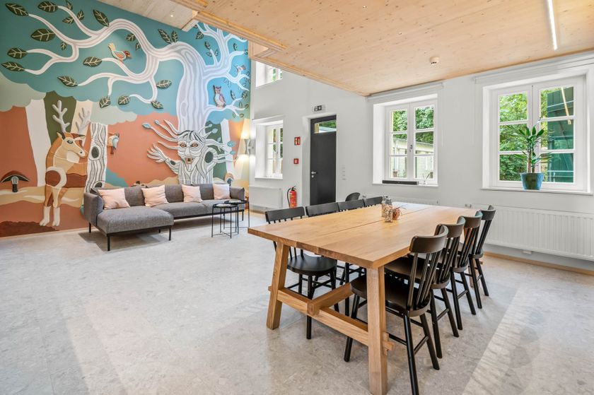
  • Kabaisercher: La Sauvage
    AccessibleSituated in the centre of town

Similar hiking tours

© Pulsa Pictures, ORT SUD
Thematic paths
Didactic trail "Natura 2000" - Ellergronn
Distance: 11,93 km
Duration: 3:20 h
Difficulty: medium
Find out more
© Visit Luxembourg
Circular routes
Circular trail "Sentier de la Crosnière"
Distance: 3,74 km
Duration: 1:05 h
Difficulty: medium
Find out more
© © Claude Piscitelli / ONT, Visit Luxembourg
Thematic paths
Geological Trail - "Giele Botter"
Distance: 2,43 km
Duration: 0:45 h
Difficulty: medium
Find out more
© ORT Sud
Circular routes
Auto-pédestre trail Abweiler
Distance: 8,85 km
Duration: 2:20 h
Difficulty: medium
Find out more
© ORT Sud
Circular routes
Auto-pédestre trail Belvaux
Distance: 9,44 km
Duration: 2:50 h
Difficulty: medium
Find out more
© ORT Sud
Circular routes
Auto-pédestre trail Rodange
Distance: 7,31 km
Duration: 2:10 h
Difficulty: medium
Find out more
© ORT Sud
Circular routes
Auto-pédestre trail Rumelange - Walert
Distance: 8,89 km
Duration: 2:25 h
Difficulty: medium
Find out more
© Pulsa Pictures, ORT Sud
Circular routes
Auto-pédestre trail Rumelange - Gare
Distance: 6,84 km
Duration: 2:05 h
Difficulty: medium
Find out more
© Pulsa Pictures, ORT SUD
Circular routes
Discovery trail "Prënzebierg - Giele Botter"
Distance: 7,65 km
Duration: 2:15 h
Difficulty: medium
Find out more