Description
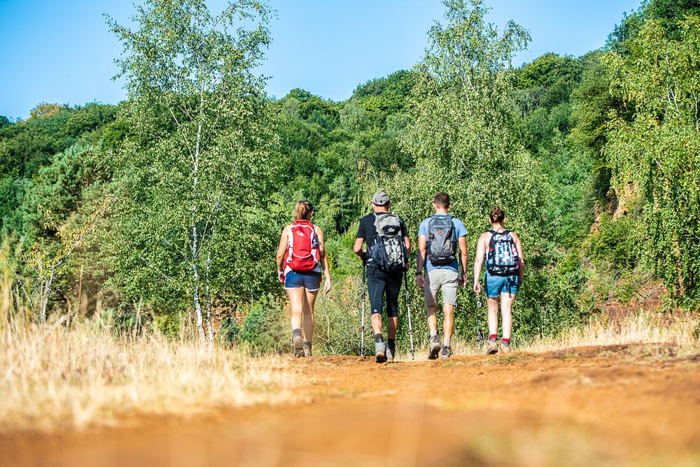
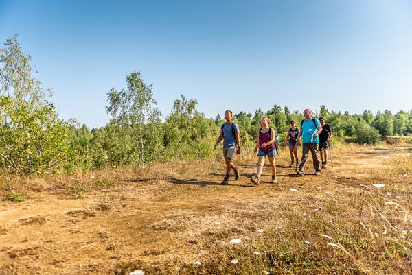
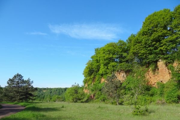
The Minett Trail leads through the Minett Region on 90 kilometres. You can split the trail in ten stages on which you can discover little villages and bigger cities, but also hike through eight nature reserves. These charm visitors with their old woods and former open pit mines whose cliffy rock faces, red rocks and pit brows are unique in Luxembourg.
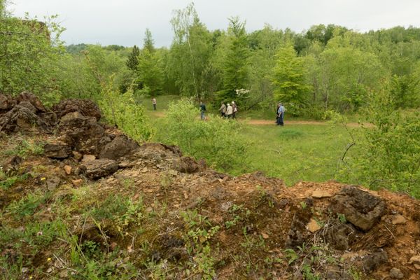
On this section you walk through the "Leiffrächen" nature reserve and the hollowed-out area around the border town of Rumelange. Close to the French border, you are in the middle of the mining area and can see how much nature has changed as a result of mining and the necessary infrastructure.
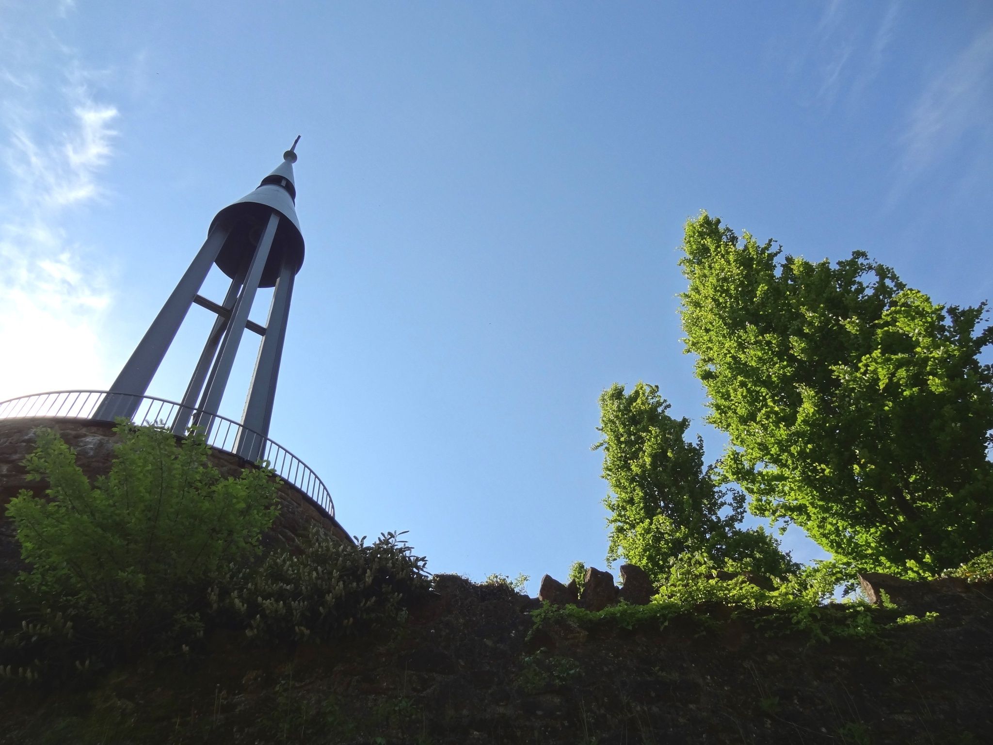
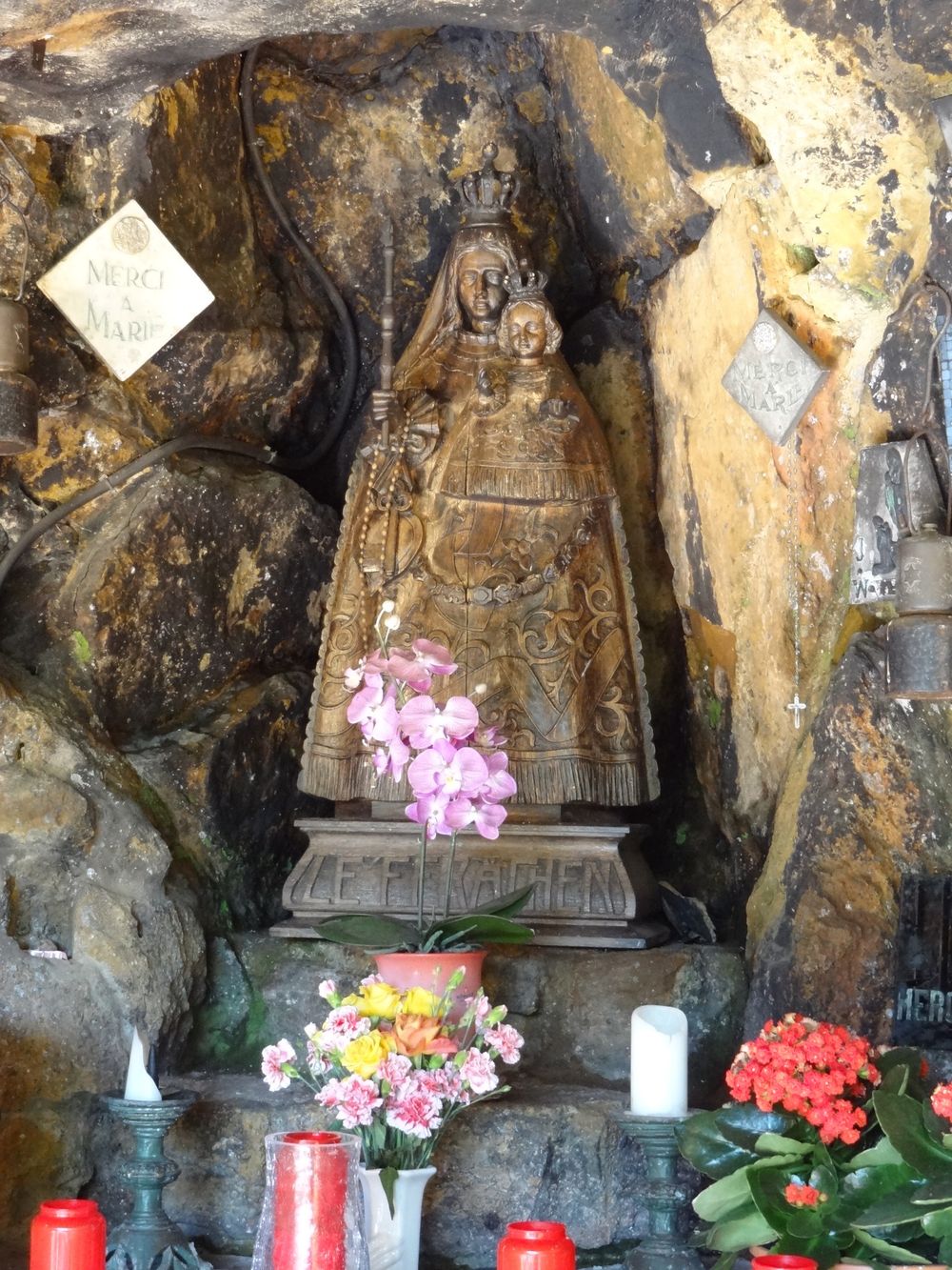
The path leads past the "Monument National des Mineurs" in Kayl, which commemorates the miners who died at work. On the "Leiffrächen", named after the place of pilgrimage of the same name and the chapel next to the path - the patron saint of the miners - you will find the distinctive red soil typical of the region.
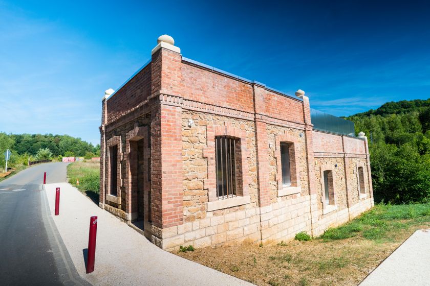
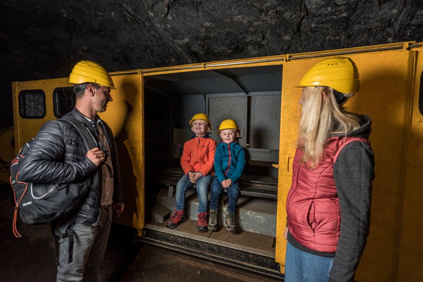
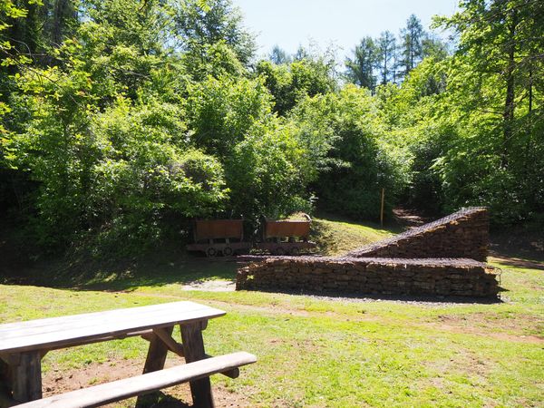
The path takes you past the mining museum in Rumelange; on your day off from hiking you can take part in a guided underground tour.
ATTENTION: Unfortunately, this section of the Minett Trail is regularly the victim of vandalism. We recommend you to download the GPX data before the hike, as the marking is often damaged or has been removed.

Signposting

Directions
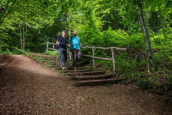
This stage of the trail starts either at the Tétange Train station or at the Rumelange Train station. Follow the official signposting: The signs show three red arrows on a white background. They are signposted "on sight" and may be affixed to streetlights or other posts.
While in our nature, you can find them on trees and posts. At important junctions you will also find signposts with arrows indicating the direction and information about the distance to specific points, as well as pictograms of points of interest.
For your safety
Equipment
Journey
Parking: Parking spaces available at the start


 This website uses technology and content from the Outdooractive Platform.