Description
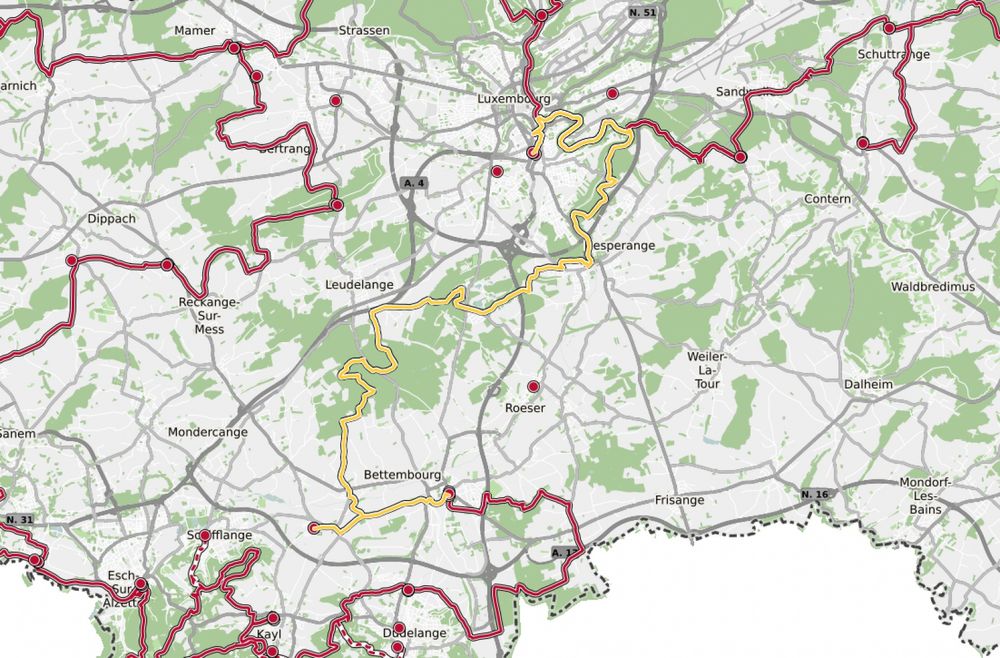
Challenge yourself and hike from station to station, from Luxembourg City to Bettembourg
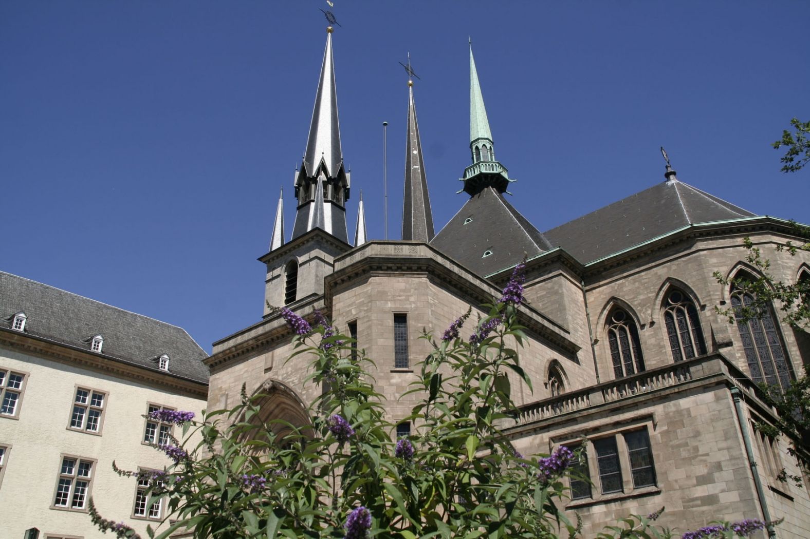
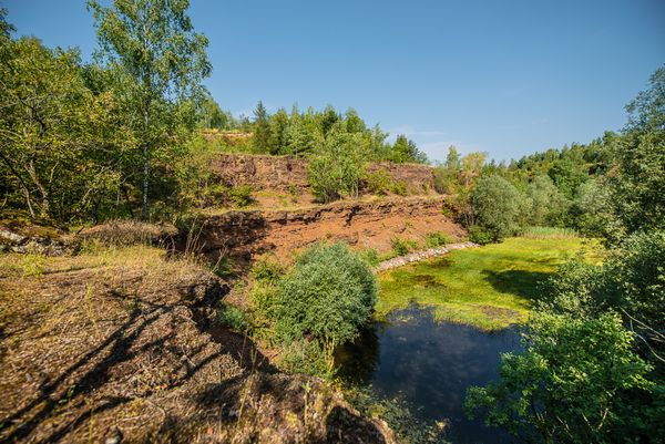
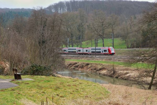
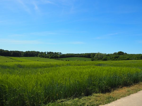
This route is intended for endurance hikers. It cannot be shortened except for an early shortcut at the outskirts of Luxembourg City towards the Sandweiler-Contern station and the branch (CFL 20a) to Noertzange station, which reduces the total distance by only 1.2 km. It is a beautiful day route, among others through the Kockelscheier recreation area, from the capital to the gates of the Minette region in the south of the country. The trail mostly follows the national hiking path Sentier de l'Alzette, and nature lovers enjoy the varied landscape and the meanders of the stream connecting the largest cities of the Grand Duchy. Don’t forget enough provisions and drinks!
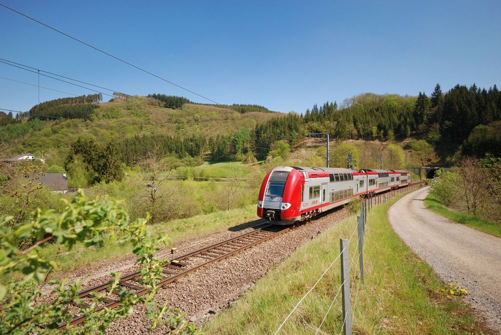
© CFL
Signposting
Directions
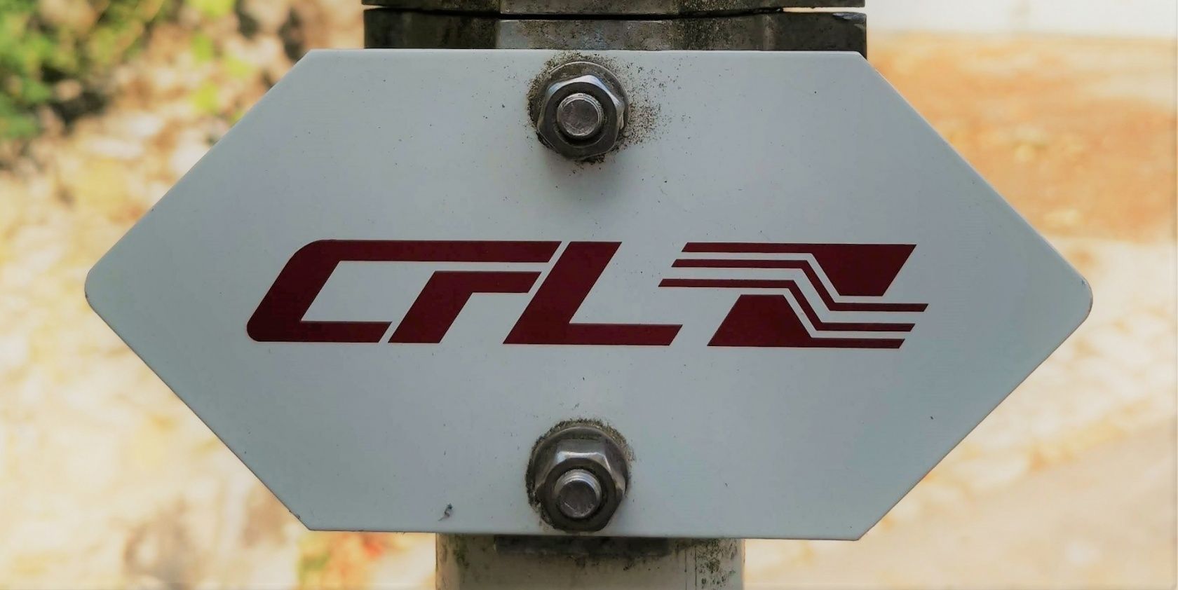
Please follow the signs marked "CFL"
For your safety
Please remember to wear sturdy footwear and appropriate clothing in case of bad weather.
Equipment
Please remember to pack enough provisions for the circular hike.
Journey
Start and end points are train stations.
Parking:
Public parking spaces directly on site

 This website uses technology and content from the Outdooractive Platform.