Distance trails Visit Luxembourg
Description
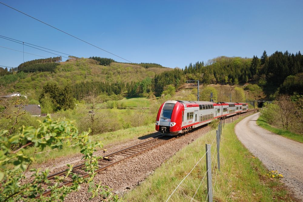
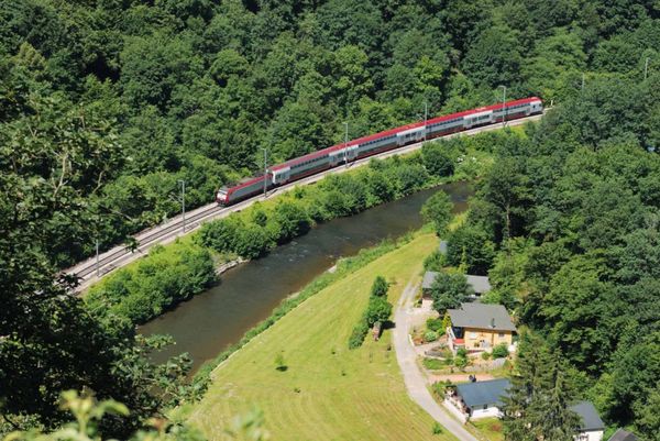
Hike from train station to station, from Kayl via Schifflange towards Esch-sur-Alzette
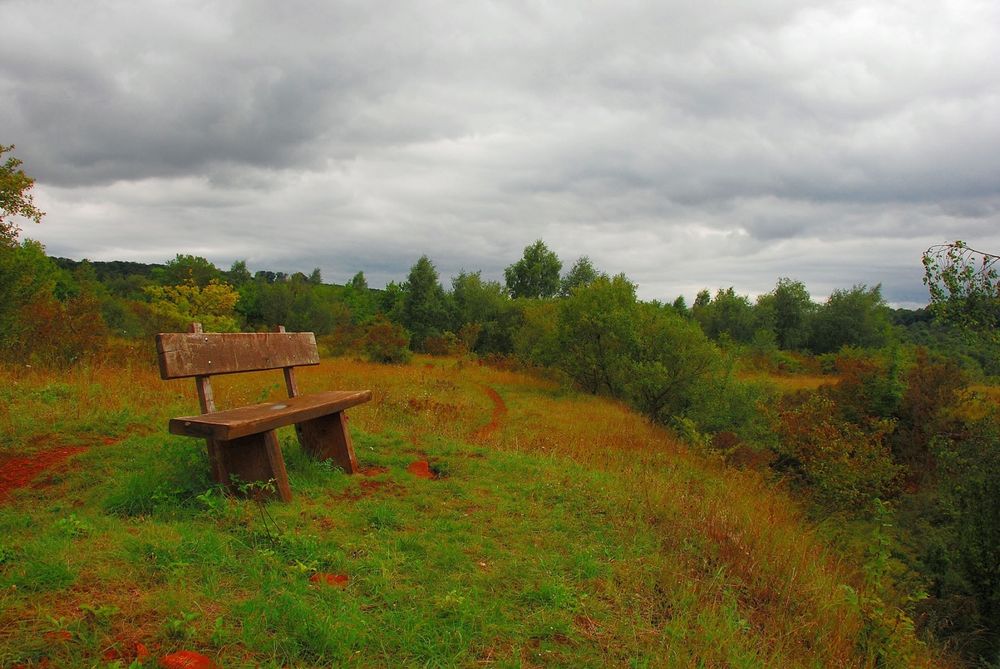
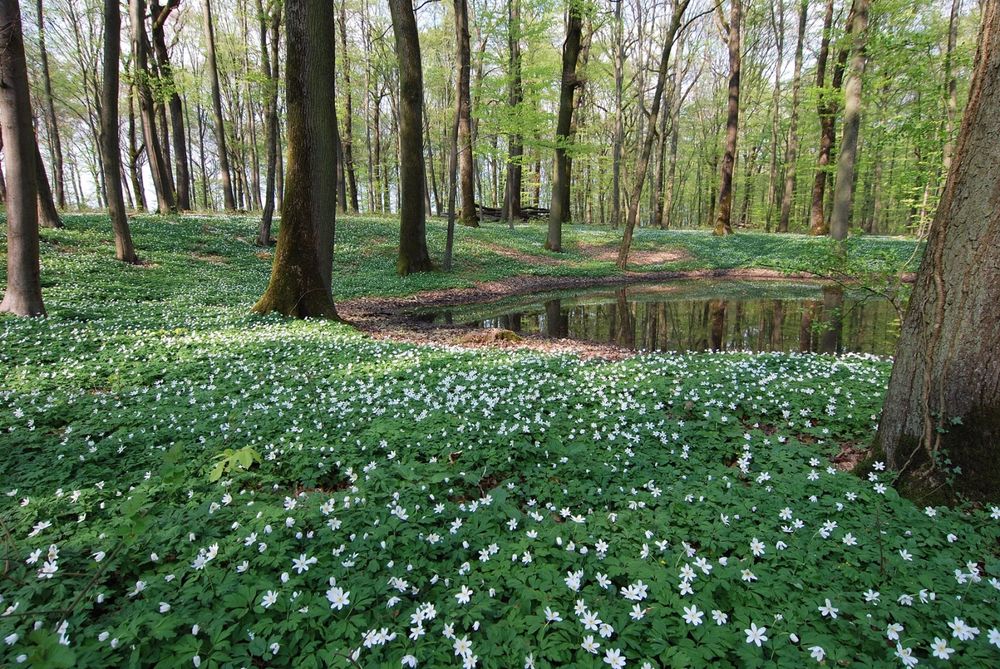
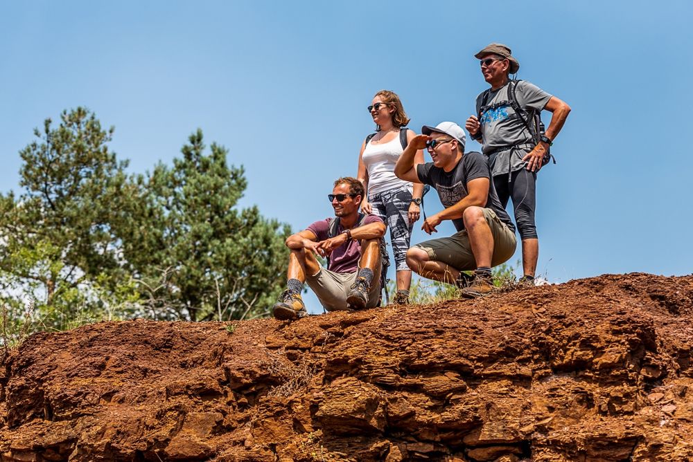
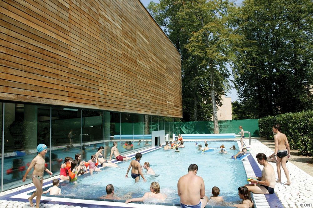
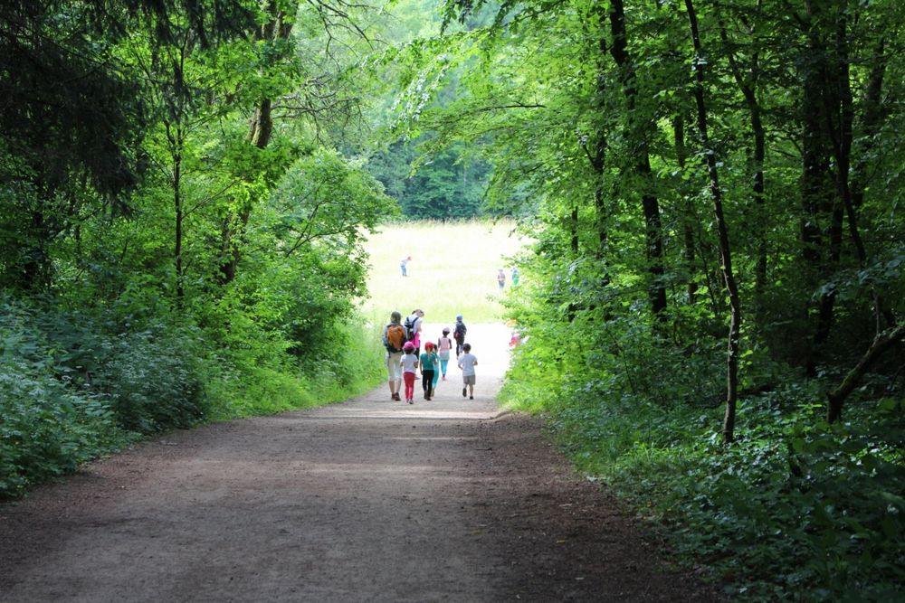
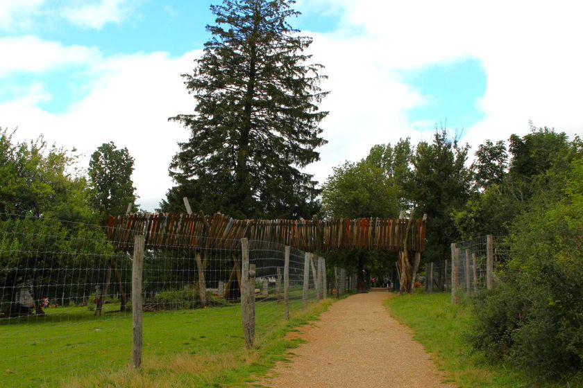
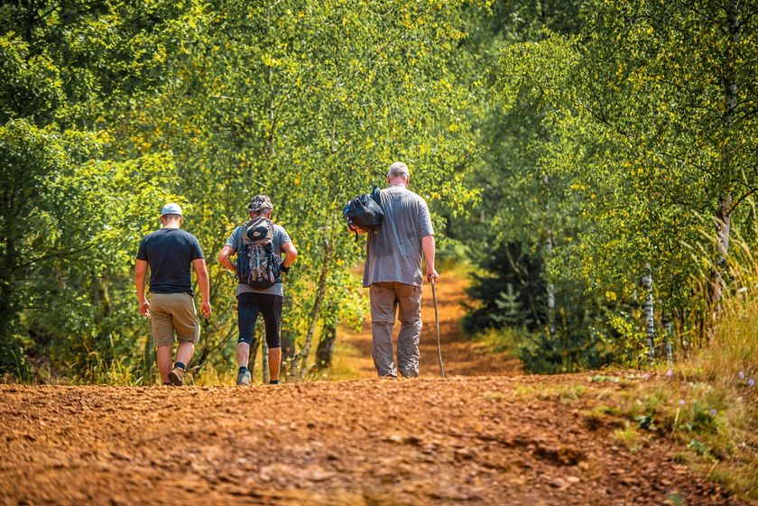
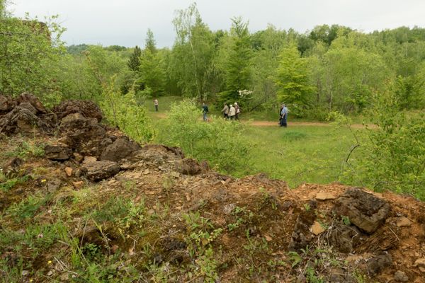
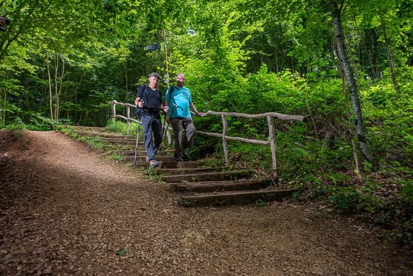
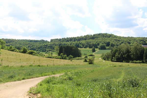
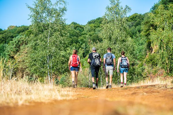
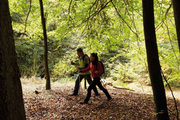
Hike from the town of Kayl-Tetingen through the Brucherbierg-Lalléngerbierg nature reserve and past Schifflingen to the city of Esch-sur-Alzette. Enjoy the freshness of nature, which begins just a few minutes outside the cities and enjoy a wonderful calm. All start and end points of the hike can be easily reached by bus and train.
Signposting
Directions
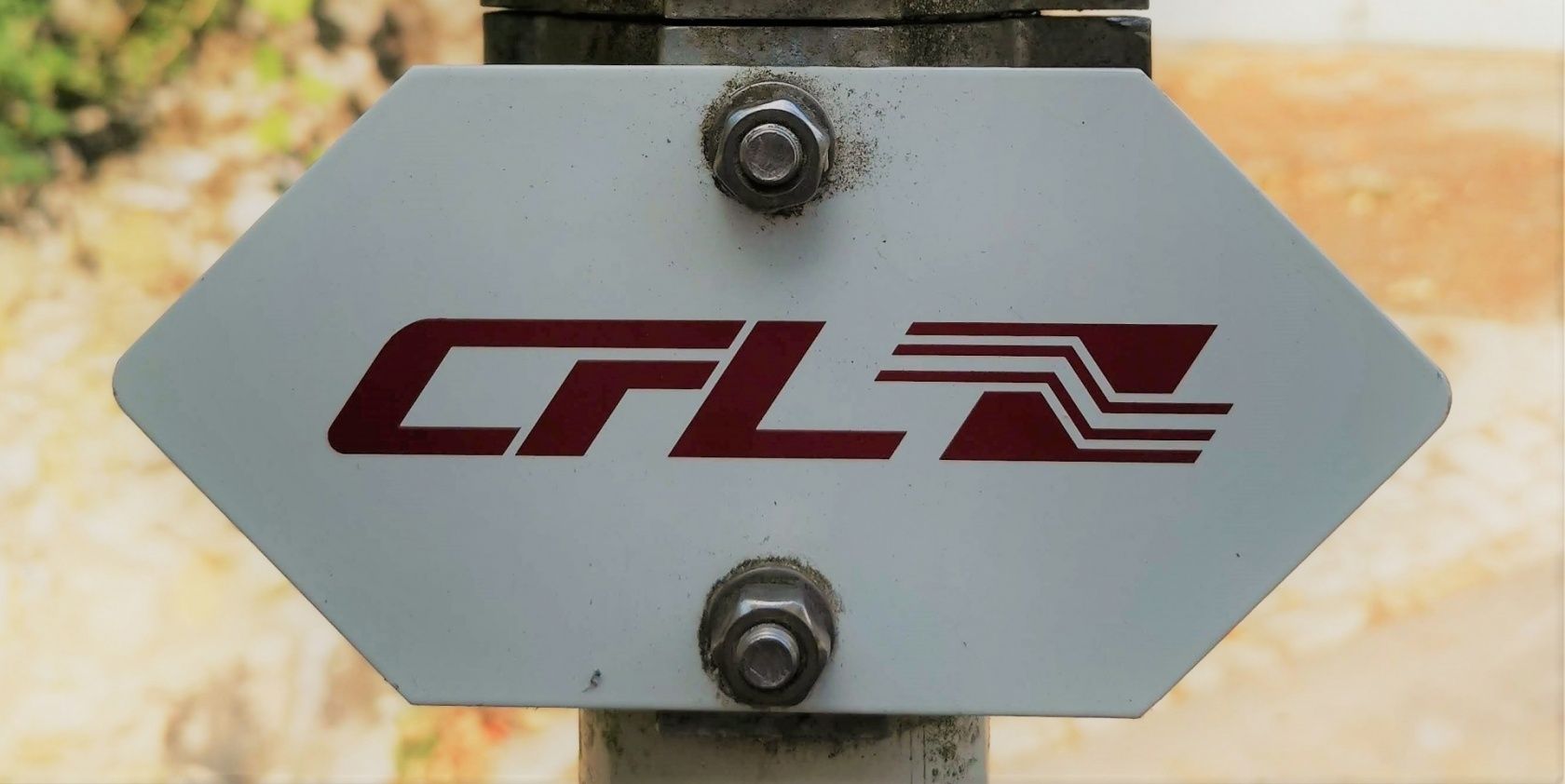
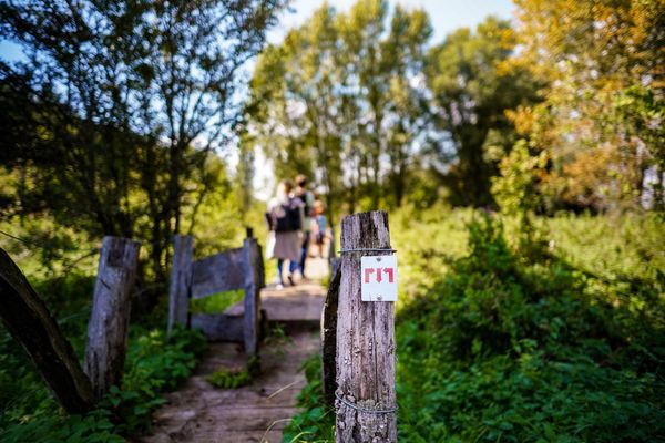
Please follow the "CFL"-signposts
For your safety
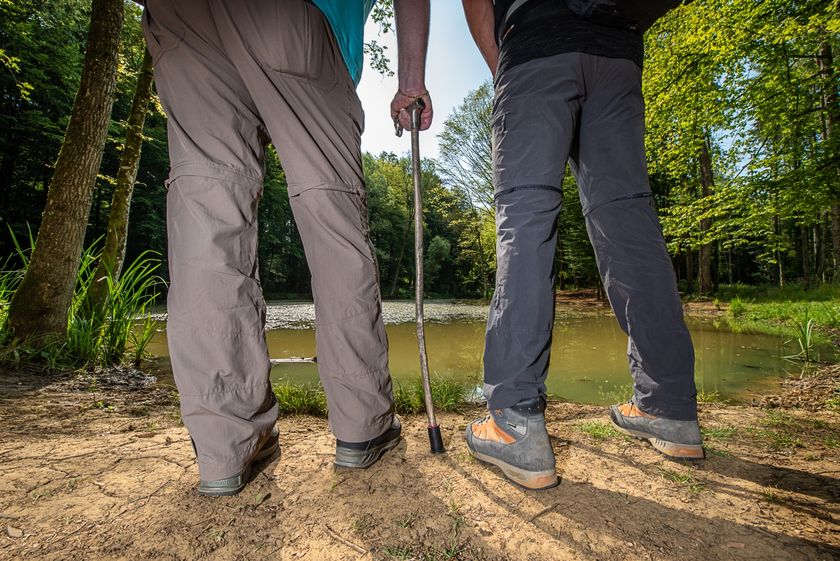
Please remember to bring enough food and drinking water.
Equipment
Please remember to bring enough food and drinking water.
Journey
Public transport: The start and finish are at a train station
Parking: Public parking available at the start
Parking: Public parking available at the start


 This website uses technology and content from the Outdooractive Platform.