Description
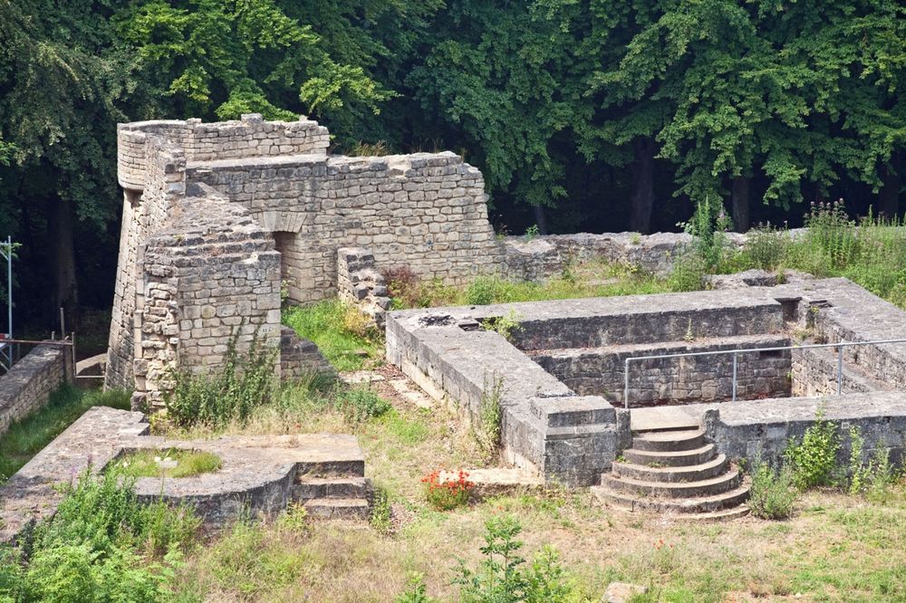
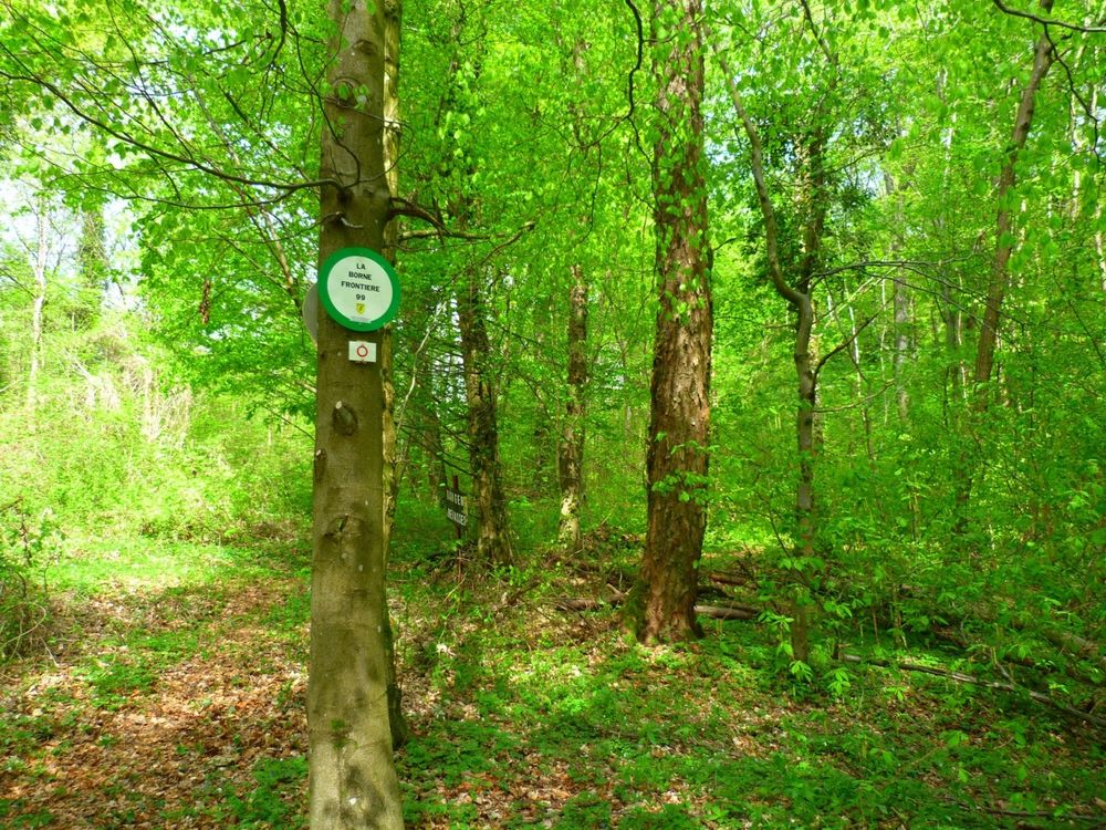
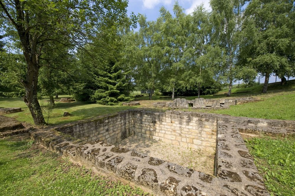
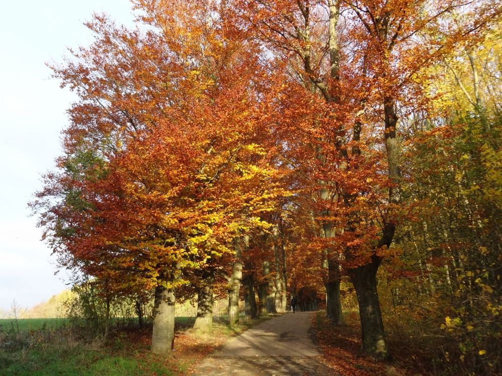
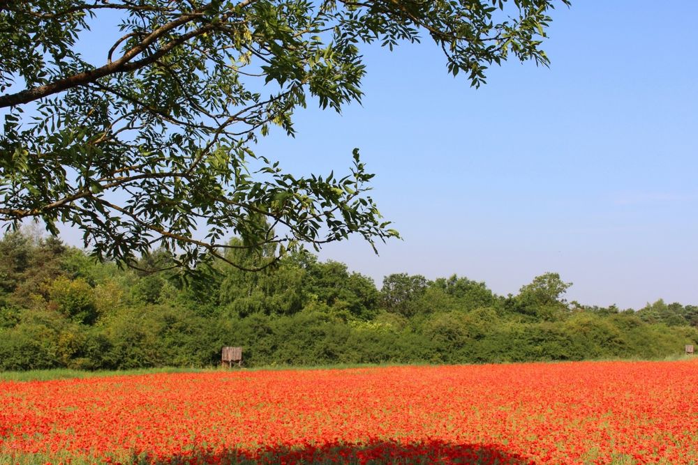
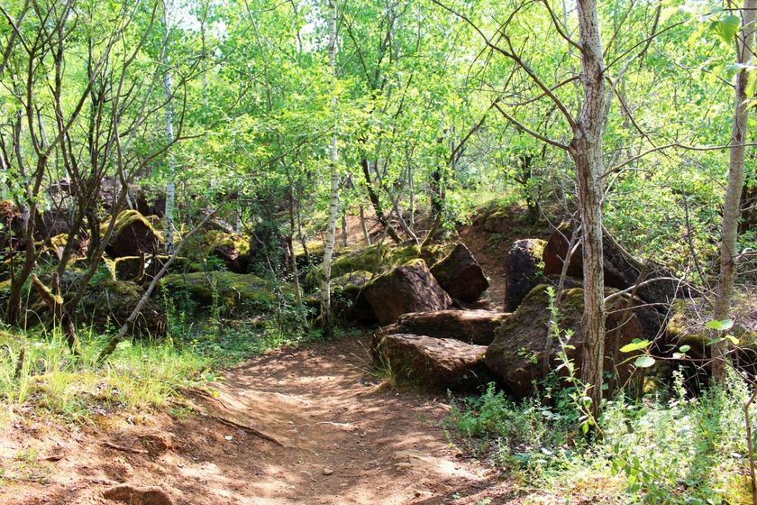
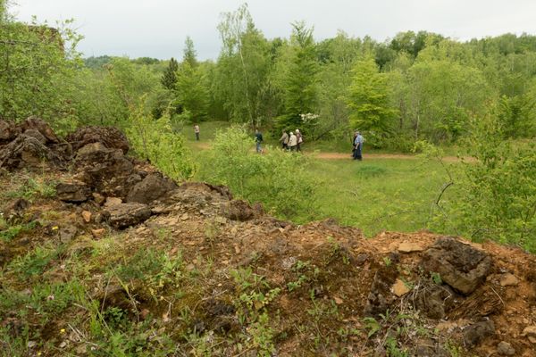
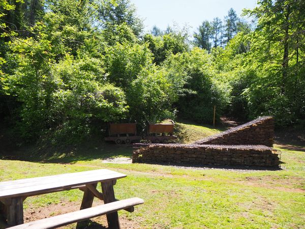
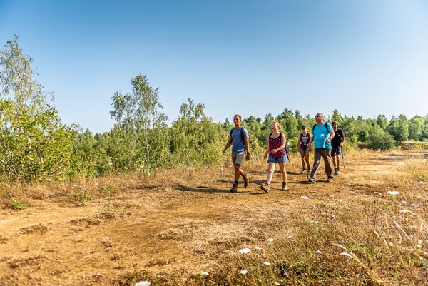
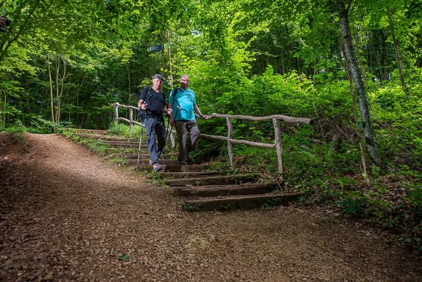
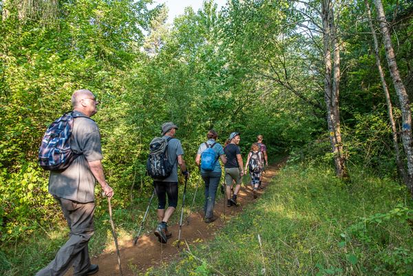
This is an attractive hike which, among others, crosses ancient opencast mining spots and passes the country’s most southern point located on the border to France. The itinerary sports four climbs and offers great panoramic views such as those in the neighbourhood of the nature reserve Haard.
Shortcuts: signposted path CFL 22a, descending from the Gaalgebierg heights to Dudelange-Centre station (6,2 km in total) or, towards the end of this path, shortcut marked CFL 22b to Dudelange-Usines station (5,8 km in total). There is also the signgposted CFL 22c path through Tétange to this city’s station (7,9 km in total).
N.B.: Few trains stop at Rumelange and Tétange stations. Alternative: bus service. Please take a close look at the timetables while planning your trip.
Signposting
Directions
Attention: The signposting is arranged in both directions
For your safety
Equipment
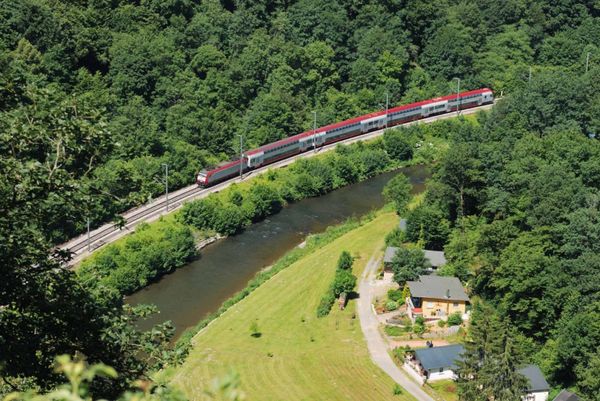
Journey
Parking: Public parking available at the start


 This website uses technology and content from the Outdooractive Platform.