Description
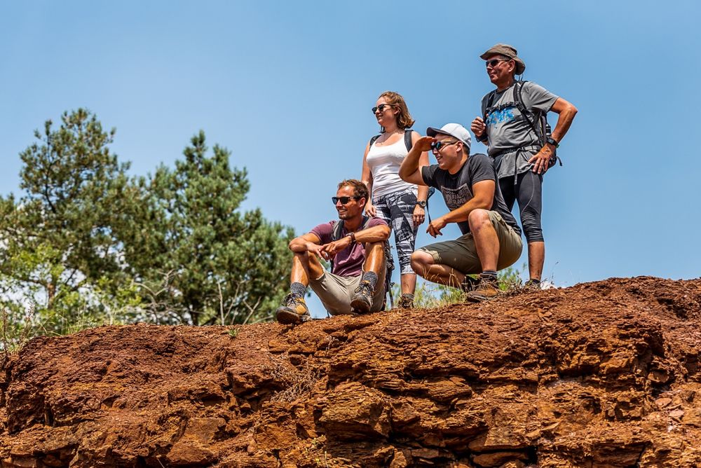
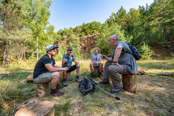
The Minett Trail leads trough the Minett Region on 90 kilometres. You can split the trail in ten stages on which you can discover little villages and bigger cities, but also hike through eight nature reserves. These charm visitors with their old woods and former open pit mines whose cliffy rock faces, red rocks and pit brows are unique in Luxembourg.
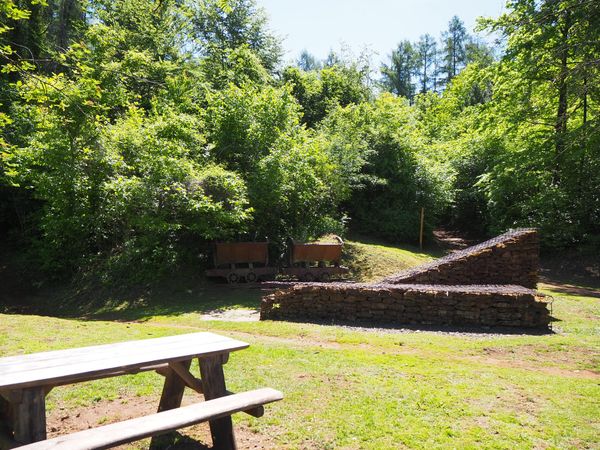
On this section you hike between the towns of Esch-sur-Alzette and Schifflange through the nature reserve "Lalléngerbierg - Brucherbierg" and thus through an important piece of history that has strongly shaped the region and both towns.
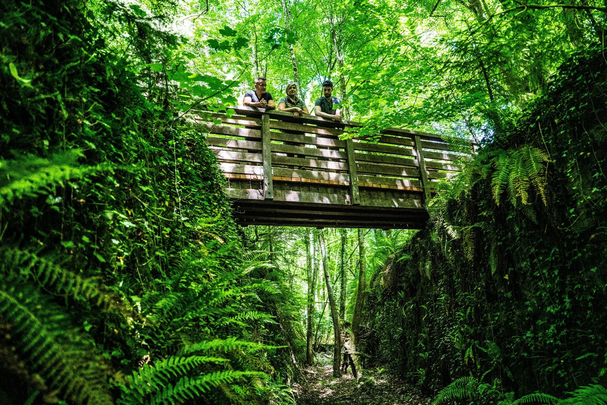
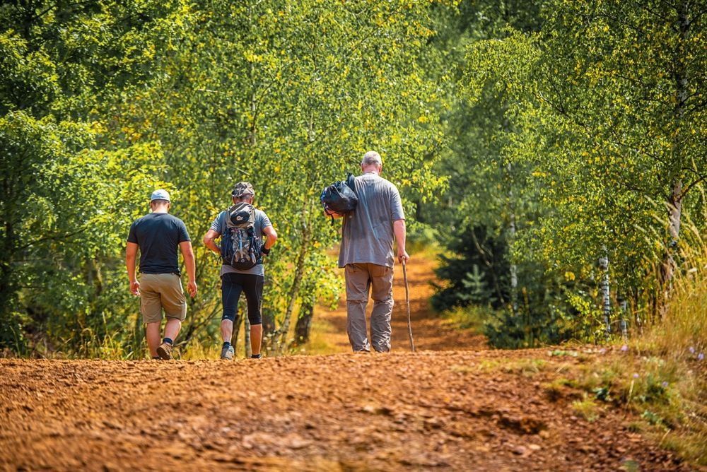
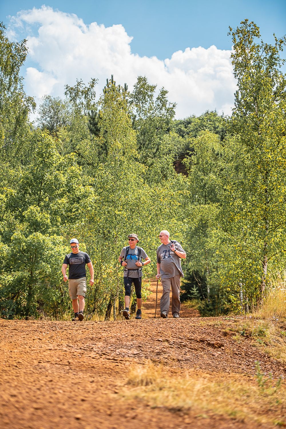
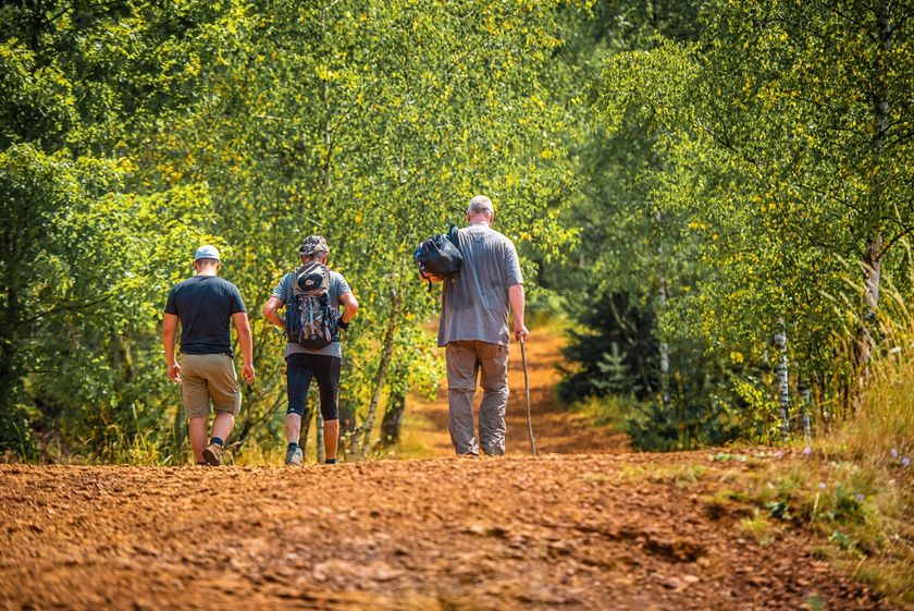
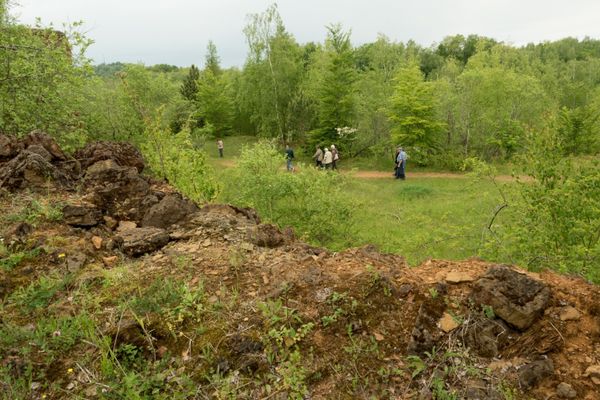
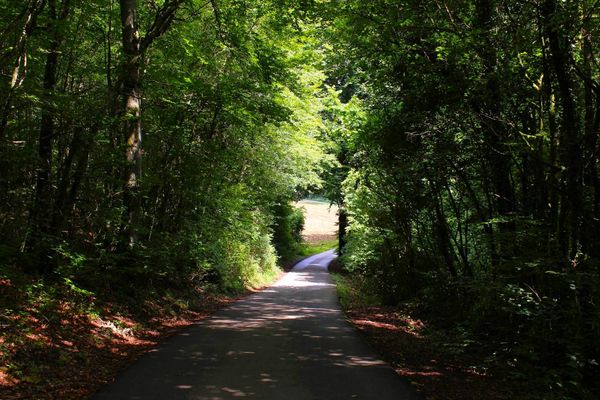
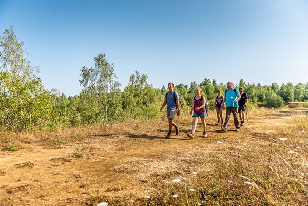
This stage is particularly rich in contrasts; on the one hand you walk through barren lunar landscapes with the distinctive red soil. Then again the path leads through lush, green forests, and with a bit of luck you will find the source of the "Marxeweiher" near Schifflange. The path is also very varied and offers deep insights into the ever-changing region. Just a short detour away from the path in the direction of the "Kabaischen" in Schifflange, you'll have an amazing view over the new Belval district.

Signposting

Directions
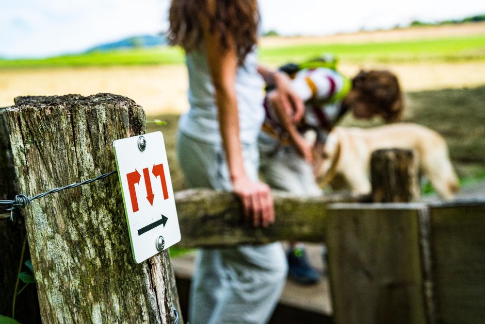
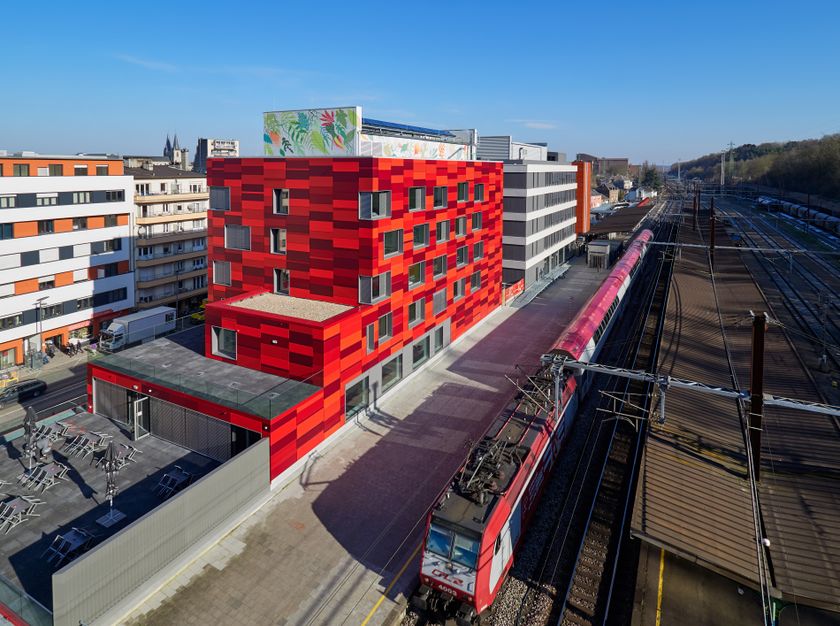
This stage of the “Minett Trail” trail starts at the "Passerelle" to the Parc Gaalgebierg next to the Esch-sur-Alzette train station, or from the Train station next to the municipal building in Schifflange. Follow the official signposting: The signs show three red arrows on a white background. They are signposted "on sight" and may be affixed to streetlights or other posts.
While in the nature, you can find them marked on trees. At important junctions you will also find signposts with arrows indicating the direction and information about the distance to specific points, as well as pictograms of points of interest.
For your safety
Please note that mountain bikers may meet you at times on the way and that the trail sometimes leads over street crossings in town. Therefore, please follow the given signs, do not deviate from the path and pay attention to your surroundings.
Equipment
Please remember to wear sturdy shoes and appropriate clothing in case of inclement weather.
Journey
Parking: Parking spaces available at the start





 This website uses technology and content from the Outdooractive Platform.