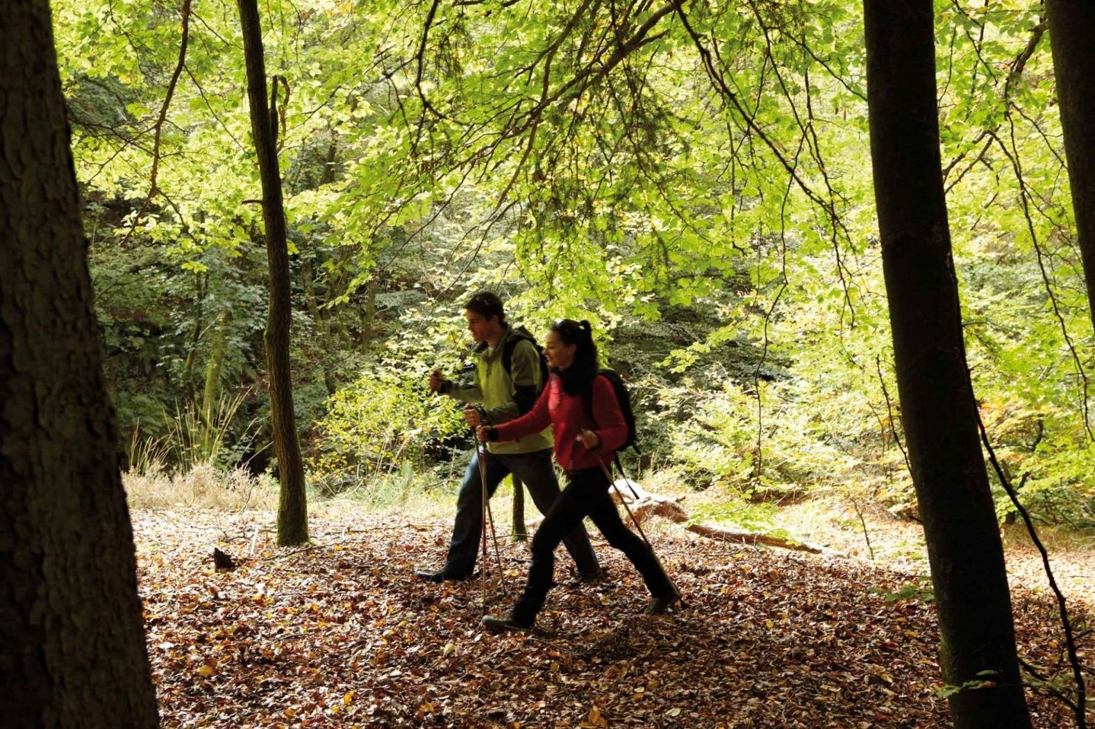
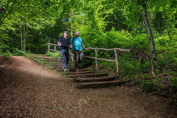
© Visit Luxembourg
Luxembourg City Germany France

National hiking trail "South I"

Starting point
Rue de Pulvermuhl, 2356 Luxembourg
Destination
"Beetebuerger Bësch" nature reserve
Distance
32,72 km
Duration
9:25 h
Difficulty
medium
  • Condition
Highest point
357 Hm
Lowest point
-19 Hm
Aggregated Ascent
475 Hm
Aggregated Descent
541 Hm
Distance trails Visit Luxembourg

Description

A historical hike to the industrial heart of Luxembourg

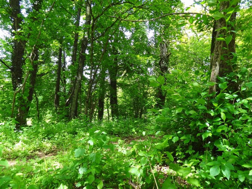
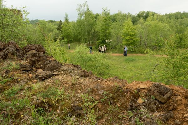
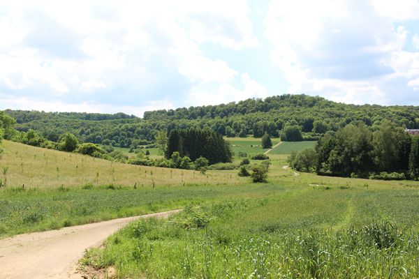
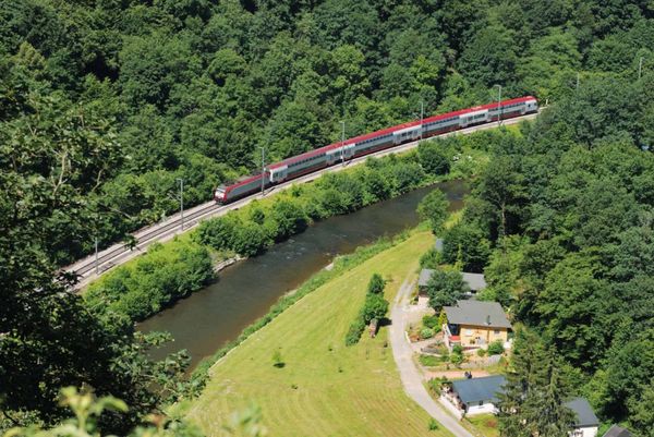
Leaving the Capital, this footpath leads through the region to the south of the country. Passing the idyllic Gantenbeinsmillen, on the outskirts of the City of Luxembourg, the path offers you the opportunity to discover the Château in Hesperange and the ‘Maison de la Nature’ in Kockelscheuer, both set in the magnificent landscape which stretches as far as the South of Luxembourg. With a wealth of history dominated by industrial activity, the Land of the Red Earth (named after the red soil which remained after the mining of iron ore) is marked these days by its diversity. In addition to savouring an impressive historic panorama, the walker can also enjoy the unique ambiance which pervades this region.


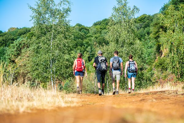
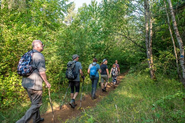
The "Sentier du Sud" takes you directly from Luxembourg City to the course of the "Minett Trail", which leads through the entire region over 90 kilometers and 10 stages.

Suggestions nearby

National hiking trail "South I"

  • © Pulsa pictures
    Documentation Centre for Human Migrations
    Migration history and the background of cultural diversity in Luxembourg - you will learn a lot here
    Find out more
  • Nature reserve "Beetebuerger Bësch"
    Nature reserve "Beetebuerger Bësch"
    Find out more

Similar hiking tours

© Pulsa Pictures, ORT SUD
Thematic paths
Didactic trail "Natura 2000" - Ellergronn
Distance: 11,92 km
Duration: 3:20 h
Difficulty: medium
Find out more
© © Claude Piscitelli / ONT, Visit Luxembourg
Thematic paths
Geological Trail - "Giele Botter"
Distance: 2,43 km
Duration: 0:45 h
Difficulty: medium
Find out more
© ORT Sud
Circular routes
Auto-pédestre trail Rodange
Distance: 7,31 km
Duration: 2:10 h
Difficulty: medium
Find out more
© ORT Sud
Circular routes
Auto-pédestre trail Lamadelaine
Distance: 8,36 km
Duration: 2:25 h
Difficulty: medium
Find out more
© Pulsa Pictures, ORT SUD
Minett Trail
Minett Trail: Esch-sur-Alzette Gare - Tétange Gare
Distance: 11,95 km
Duration: 3:25 h
Difficulty: medium
Find out more
© Pulsa Pictures, Pulsa Pictures_ORT SUD
Minett Trail
Minett Trail: Rumelange Gare - Dudelange Gare
Distance: 10,77 km
Duration: 3:00 h
Difficulty: medium
Find out more
© Visit Luxembourg
Distance trails
21 Station to station Bettembourg - Dudelange-Burange
Distance: 14,66 km
Duration: 3:45 h
Difficulty: medium
Find out more
© Pulsa Pictures, ORT SUD
Circular routes
Trail "Um Réimerwee"
Distance: 9,29 km
Duration: 2:40 h
Difficulty: medium
Find out more
© Visit Luxembourg
Distance trails
30 Station to station Oberkorn - Fond de Gras - Rodange
Distance: 17,78 km
Duration: 5:00 h
Difficulty: medium
Find out more