© Pulsa Pictures, ORT SUD
Minett Germany France

National hiking trail 'Sentier des Mineurs'

Hunting Season 2024/25 — Check for hunts before hiking

Autumn is here, and that means hunting season has begun! From mid-October to January/February, hunters are active across the country. Stay safe by checking hunt dates in your area on our Map. 

Click on Map in the Header > Services > More > Hunting.

Starting point
Square Abbé François Ney, 4744 Pétange
Destination
Square Abbé François Ney, 4744 Pétange
Distance
29,16 km
Duration
8:10 h
Difficulty
medium
  • Condition
Highest point
426 Hm
Lowest point
294 Hm
Aggregated Ascent
480 Hm
Aggregated Descent
452 Hm
Thematic paths Visit Luxembourg

Description

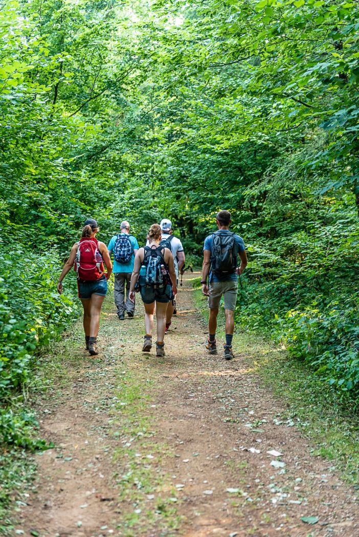
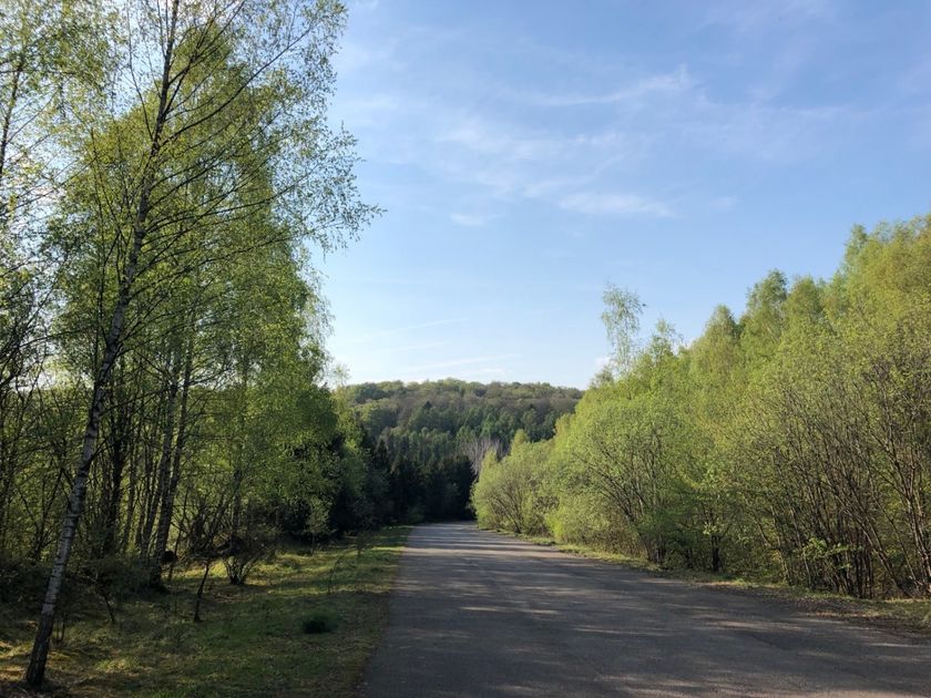
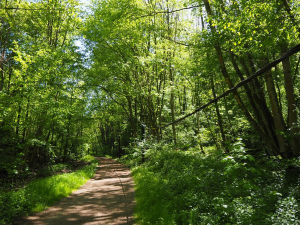
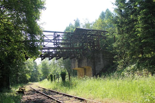
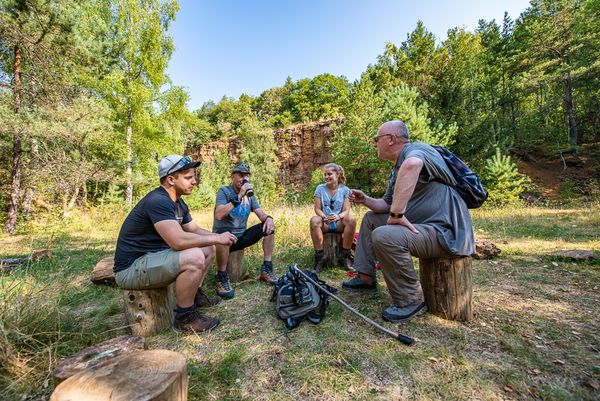
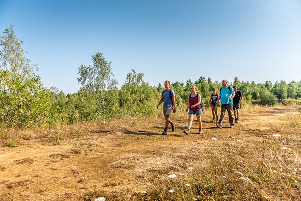
Hike in the footsteps of the miners on the national hiking trail 'Sentier des Mineurs' (Path of the Minerworkers).

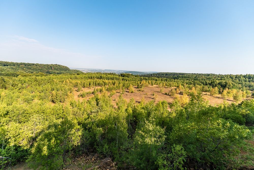
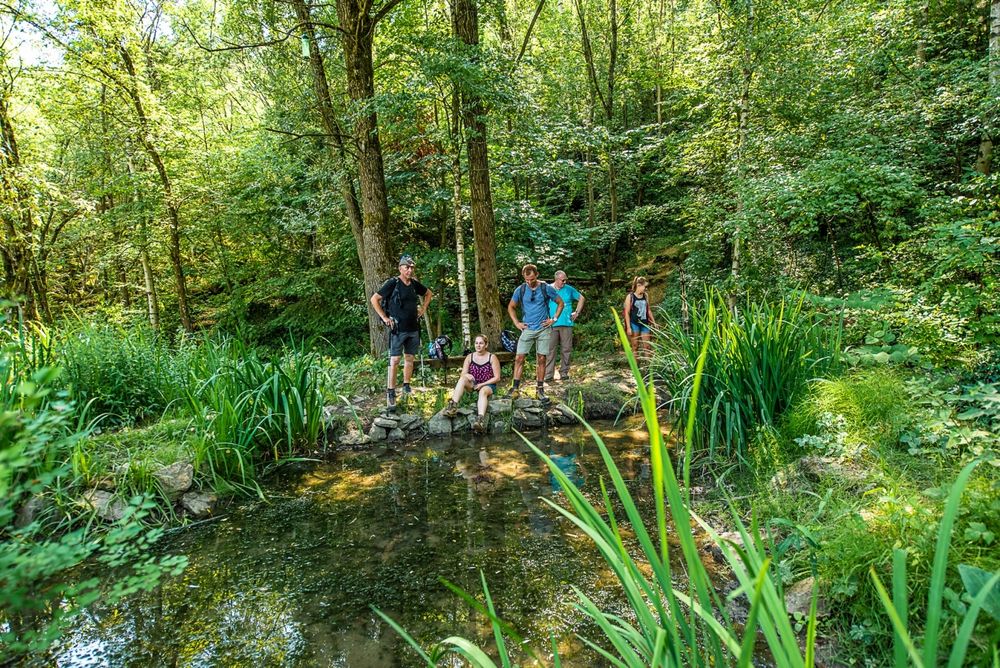
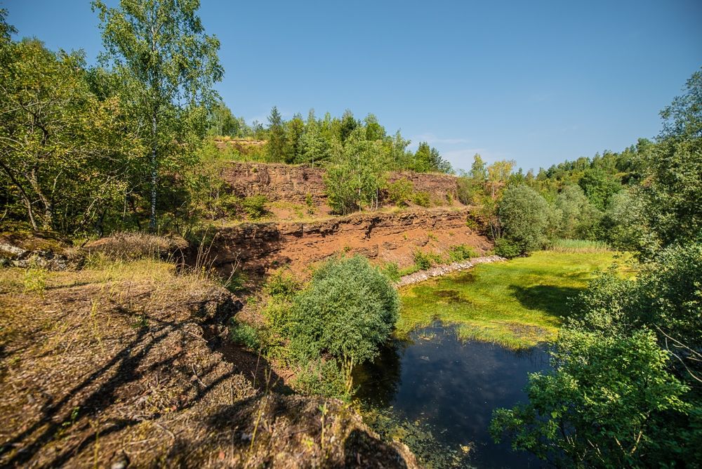
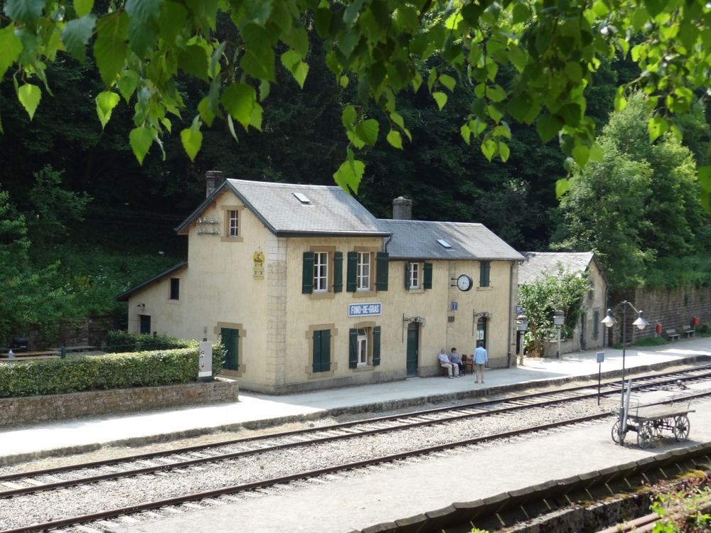
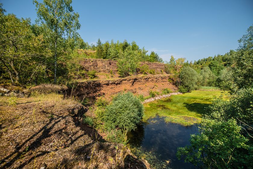
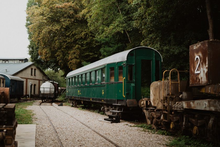
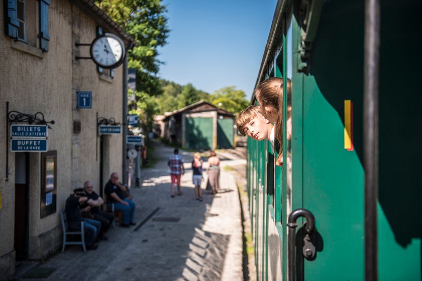
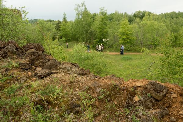
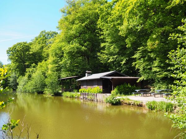
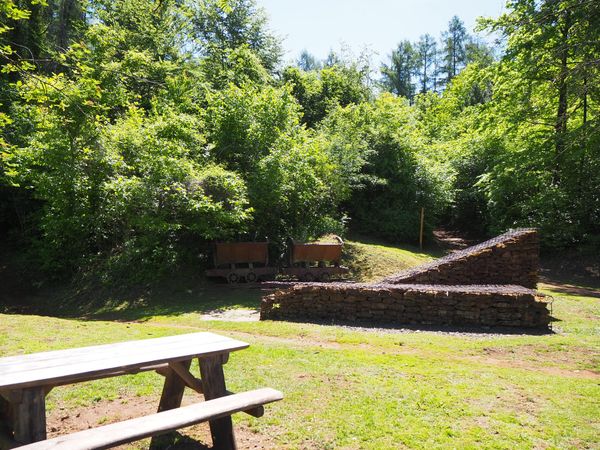
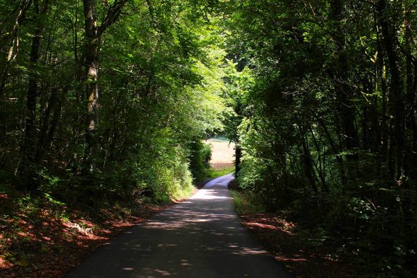
Once the most important industrial region in Luxembourg, the Basse-Chiers has gradually been taken over by nature. This scenic trail takes hikers through green forests and quiet valleys, along charming streams, and down mining slopes with angular contours, typical of the region. The Miners’ Trail offers surprising views of old mining towns and a unique look at the region’s historic railroad heritage. The journey invites you to enjoy nature and reflect on the old mining days.

Suggestions nearby

National hiking trail 'Sentier des Mineurs'

  • © Visit Luxembourg
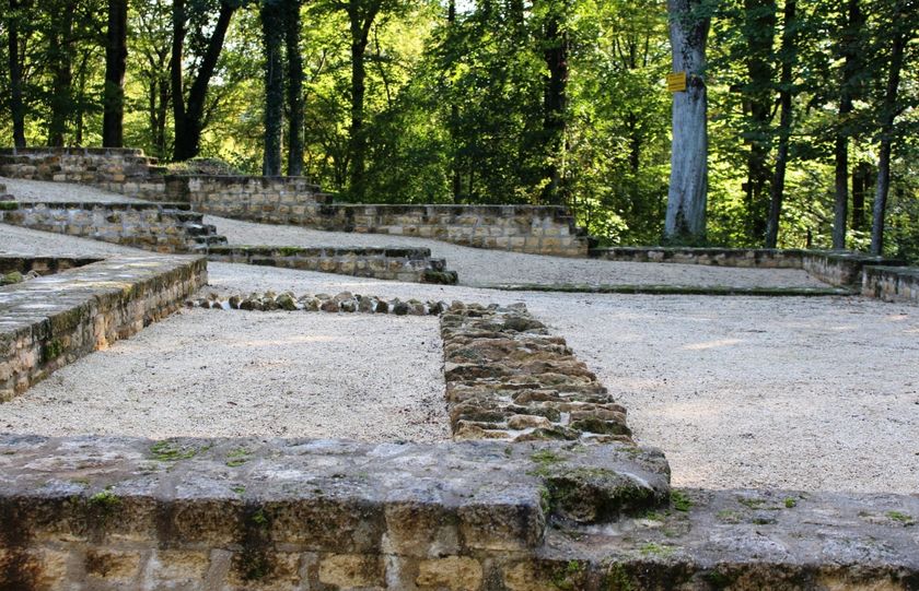
    Titelberg - archaeological site
    An important site from Celtic times
    Find out more
  • © Pulsa Pictures
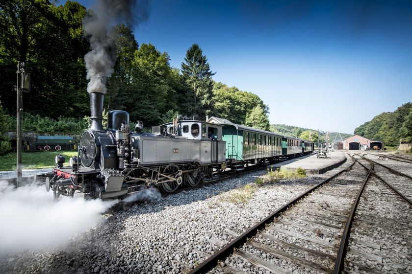
    Historical steam train "Train 1900"
    Fancy a journey back in time ?
    Find out more

  • No image available
    Titelberg - Parc Industriel et Ferroviaire
    Titelberg - Parc Industriel et Ferroviaire, Fond-de-Gras
    Find out more
  • © Pulsa Pictures
    Minett Park Fond-de-Gras
    The Minett Park Fond-de-Gras is an open-air museum that includes the Fond-de-Gras, the village of Lasauvage, the former open-cast mine of Giele Botter and the Celtic oppidum of Titelberg.
    Find out more
  • © Espace Muséologique Lasauvage
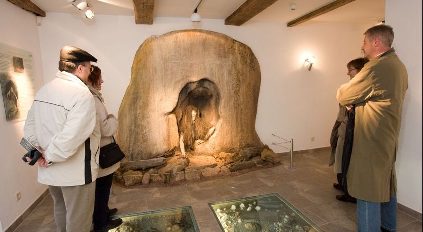
    Espace Muséologique de Lasauvage
    This life-size reconstruction takes you back to the days of the Second World War when a group of young Luxembourgers hid in a mine to escape the obligation to serve in the German army and wear the Nazi uniform.
    Find out more
  • Nature reserve "Kiemerchen / Scheiergronn / Groussebësch"
    Nature reserve "Kiemerchen / Scheiergronn / Groussebësch"
    Find out more
  • © Pulsa Pictures & ORT Sud
    Nature reserve "Prënzebierg - Giele Botter"
    Nature has the final word
    Find out more
  • © Pulsa Pictures_OAI
    Kabaisercher: Wagon Fond-de-Gras
    ParkingWellnessWifi

Similar hiking tours

© Pulsa Pictures, ORT SUD
Thematic paths
Didactic trail "Natura 2000" - Ellergronn
Distance: 11,93 km
Duration: 3:20 h
Difficulty: medium
Find out more
© Visit Luxembourg
Circular routes
Circular trail "Sentier de la Crosnière"
Distance: 3,74 km
Duration: 1:05 h
Difficulty: medium
Find out more
© © Claude Piscitelli / ONT, Visit Luxembourg
Thematic paths
Geological Trail - "Giele Botter"
Distance: 2,43 km
Duration: 0:45 h
Difficulty: medium
Find out more
© ORT Sud
Circular routes
Auto-pédestre trail Abweiler
Distance: 8,85 km
Duration: 2:20 h
Difficulty: medium
Find out more
© CFL, Visit Luxembourg
Distance trails
32 Station to station Bascharage-Sanem - Dippach-Reckange
Distance: 10,14 km
Duration: 2:40 h
Difficulty: medium
Find out more
© ORT Sud
Distance trails
28 Station to station Oberkorn - Niederkorn
Distance: 8,69 km
Duration: 2:25 h
Difficulty: medium
Find out more
© ORT Sud
Distance trails
27 Station to station Belvaux-Soleuvre-Oberkorn
Distance: 5,20 km
Duration: 1:25 h
Difficulty: medium
Find out more
© ORT Sud
Distance trails
29 Station to station Niederkorn - Rodange
Distance: 10,12 km
Duration: 2:55 h
Difficulty: medium
Find out more
© Visit Minett, Visit Minett
Circuit transfrontalier de l'Acier
Distance: 21,50 km
Duration: 5:50 h
Difficulty: medium
Find out more