© ORT Sud
Minett Germany France

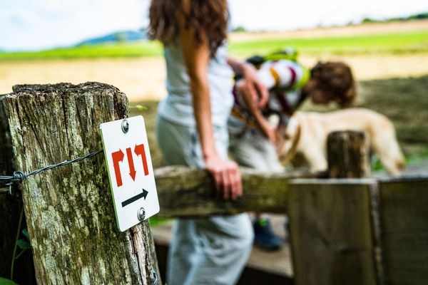
Auto-pédestre trail Mondercange

Hunting Season 2024/25 — Check for hunts before hiking

Autumn is here, and that means hunting season has begun! From mid-October to January/February, hunters are active across the country. Stay safe by checking hunt dates in your area on our Map. 

Click on Map in the Header > Services > More > Hunting.

Starting point
4, Rue d'Esch L-3920 Mondercange
Destination
4, Rue d'Esch L-3920 Mondercange
Distance
7,54 km
Duration
1:50 h
Difficulty
medium
  • Condition
Highest point
336 Hm
Lowest point
288 Hm
Aggregated Ascent
61 Hm
Aggregated Descent
61 Hm
Circular routes Visit Luxembourg

Description

An easy hiking trail: The Circular walk "Auto-Pédestre Mondercange"  

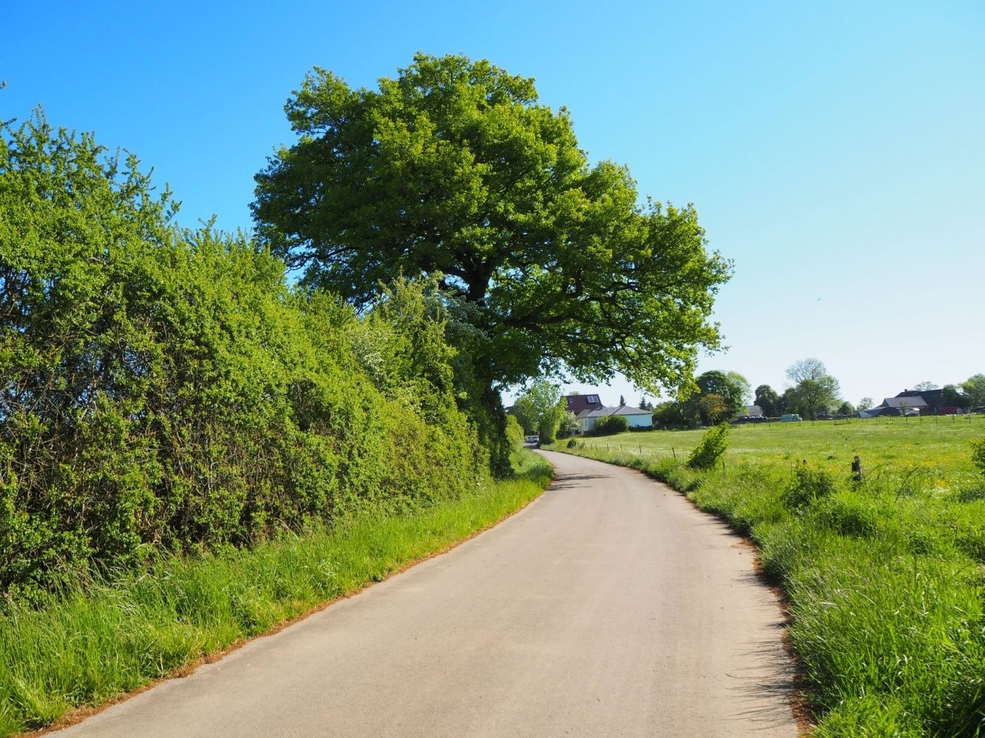
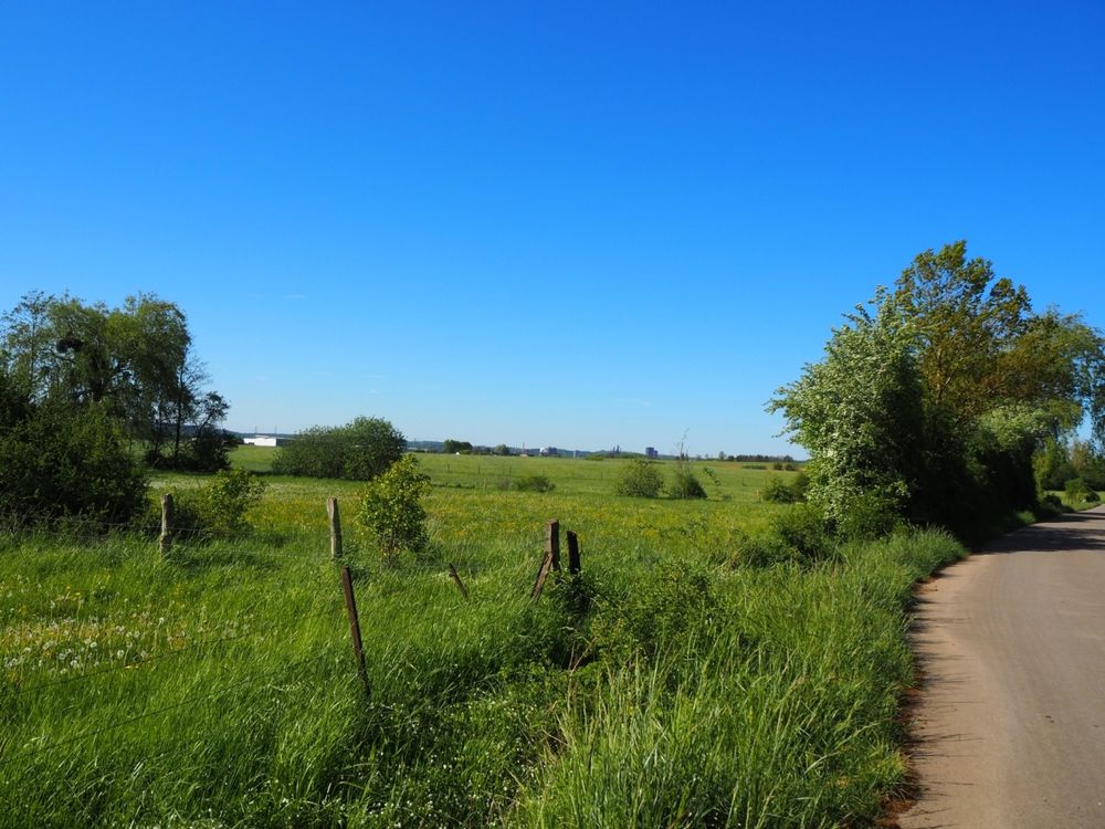
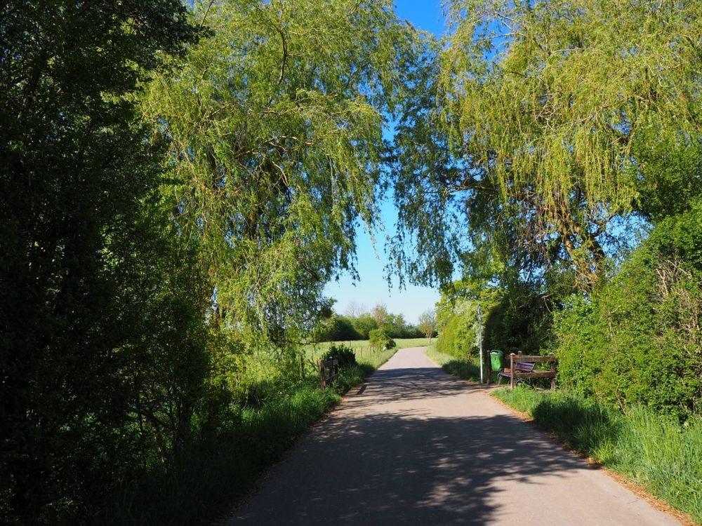
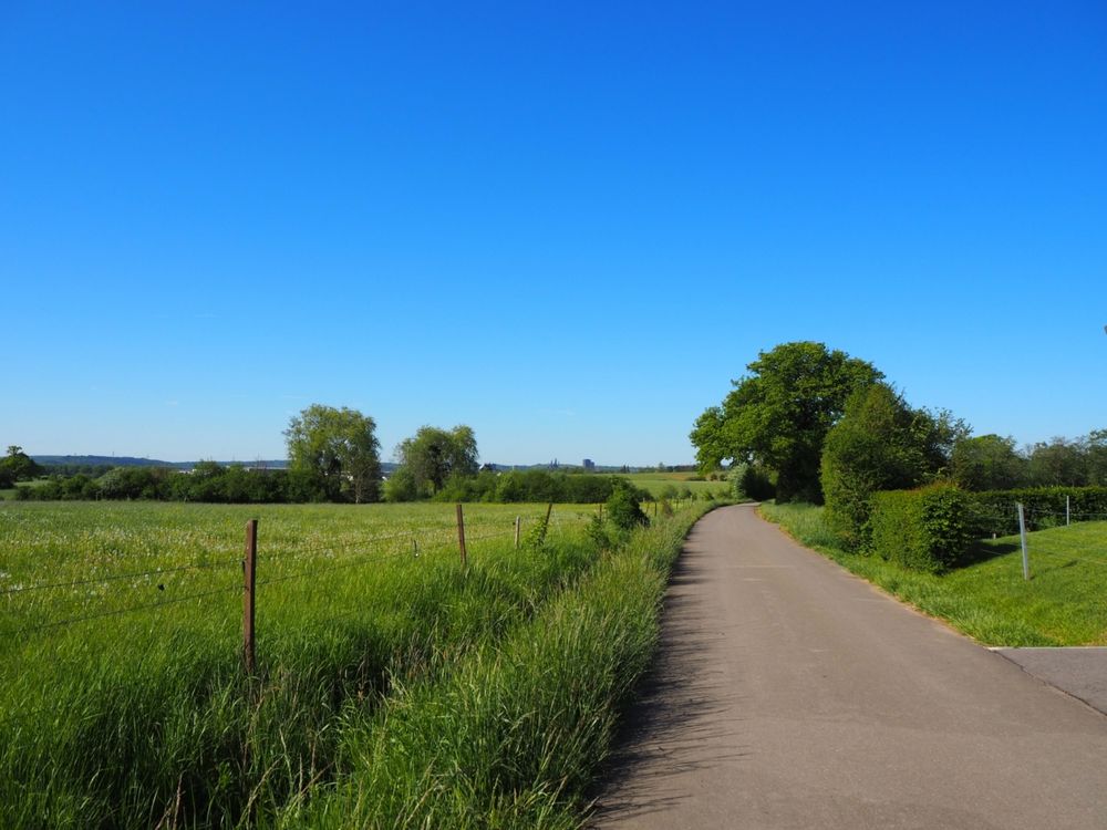
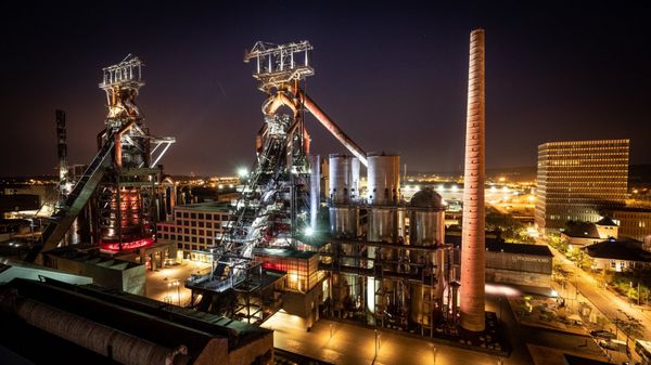
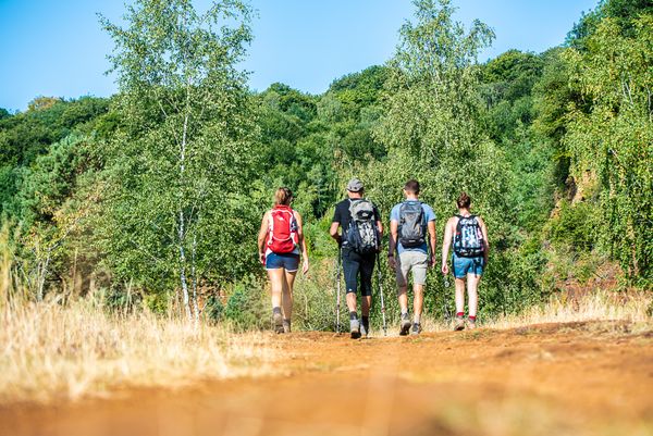
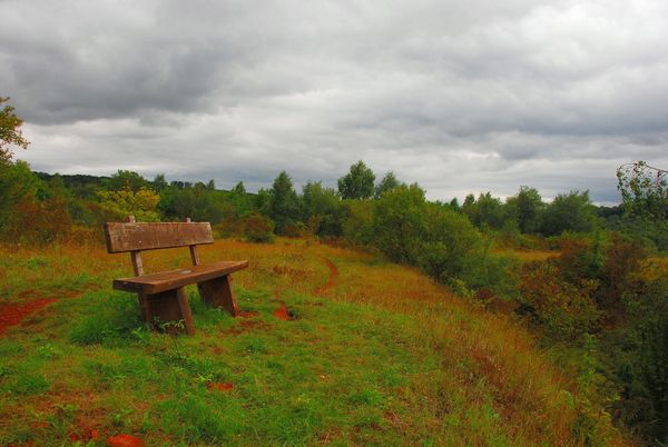
This hiking trail starts in the town center and leads out into the fields. On a clear day you can even see as far as the blast furnaces in Belval! This very easy route is ideal for stretching your legs on a big round with the family.

Please make sure to enable your Cookies in case you don't see this content.

Suggestions nearby

Auto-pédestre trail Mondercange

  • © Hotel Monvillage
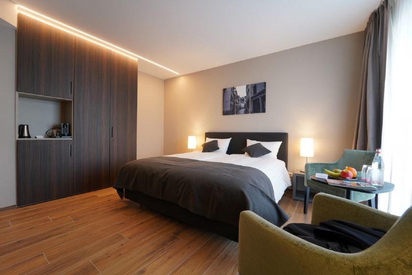
    Hotel Monvillage
    S
    Pets allowedAccessibleWifiParkingSituated in the centre of town

Similar hiking tours

© Pulsa Pictures, ORT SUD
Thematic paths
Didactic trail "Natura 2000" - Ellergronn
Distance: 11,93 km
Duration: 3:20 h
Difficulty: medium
Find out more
© Visit Luxembourg
Circular routes
Circular trail "Sentier de la Crosnière"
Distance: 3,74 km
Duration: 1:05 h
Difficulty: medium
Find out more
© © Claude Piscitelli / ONT, Visit Luxembourg
Thematic paths
Geological Trail - "Giele Botter"
Distance: 2,43 km
Duration: 0:45 h
Difficulty: medium
Find out more
© ORT Sud
Circular routes
Auto-pédestre trail Abweiler
Distance: 8,85 km
Duration: 2:20 h
Difficulty: medium
Find out more
© Pulsa Pictures, ORT SUD
Thematic paths
National hiking trail 'Sentier des Mineurs'
Distance: 29,16 km
Duration: 8:10 h
Difficulty: medium
Find out more
© CFL, Visit Luxembourg
Distance trails
32 Station to station Bascharage-Sanem - Dippach-Reckange
Distance: 10,14 km
Duration: 2:40 h
Difficulty: medium
Find out more
© ORT Sud
Distance trails
28 Station to station Oberkorn - Niederkorn
Distance: 8,69 km
Duration: 2:25 h
Difficulty: medium
Find out more
© ORT Sud
Distance trails
27 Station to station Belvaux-Soleuvre-Oberkorn
Distance: 5,20 km
Duration: 1:25 h
Difficulty: medium
Find out more
© ORT Sud
Distance trails
29 Station to station Niederkorn - Rodange
Distance: 10,12 km
Duration: 2:55 h
Difficulty: medium
Find out more