Distance trails Visit Luxembourg
Description
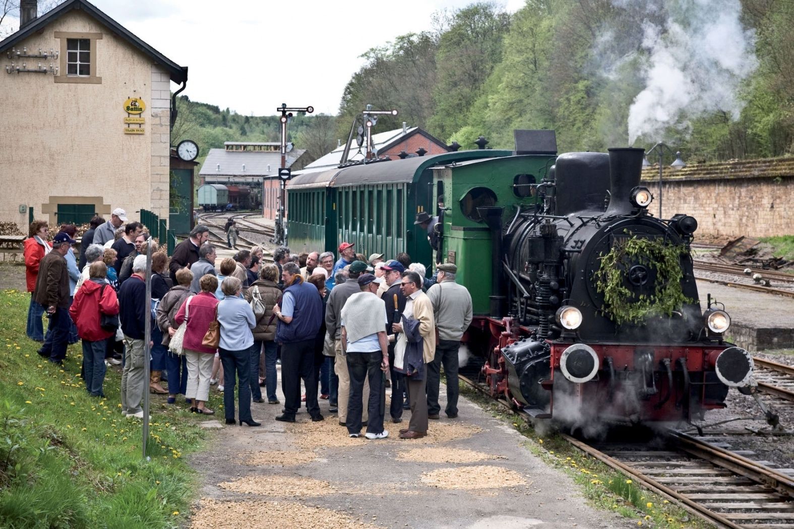
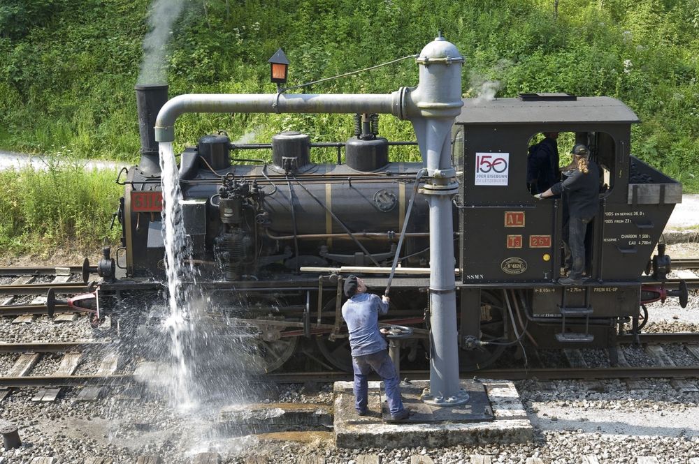
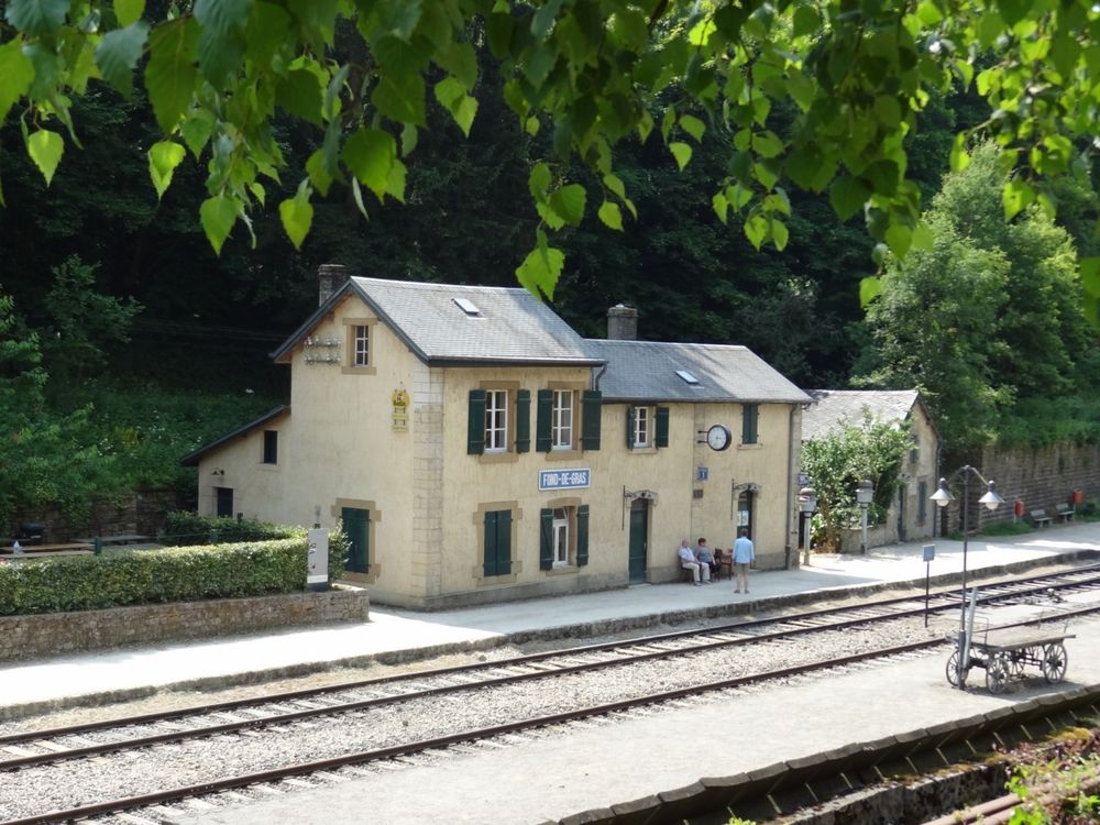
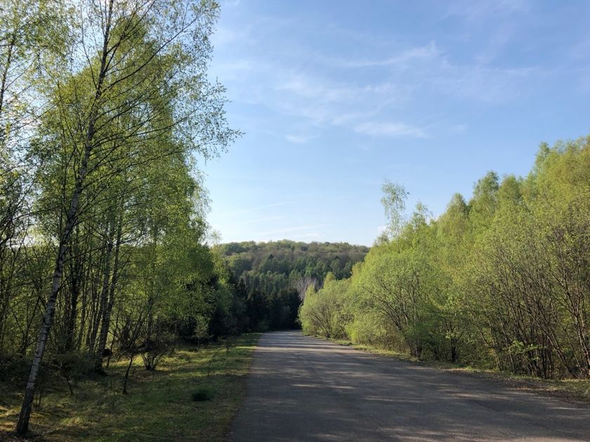
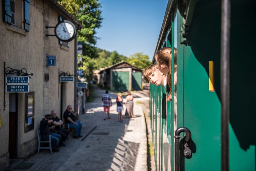
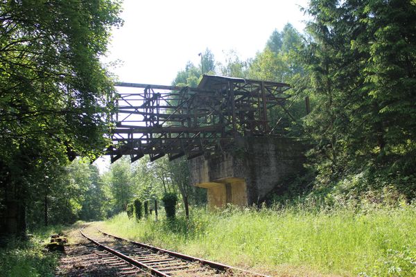
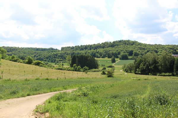
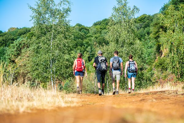
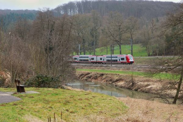
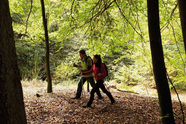
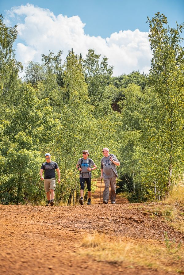
Hike from train station to station, from Oberkorn via Fond de Gras to Rodange
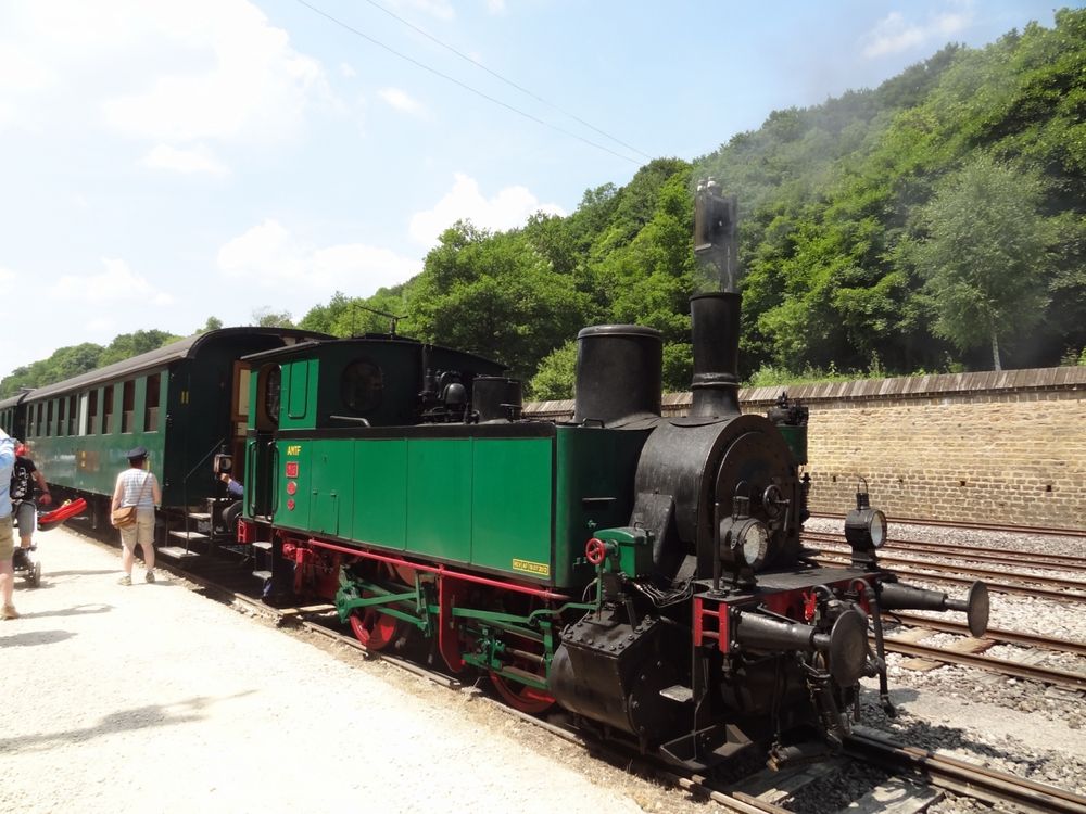
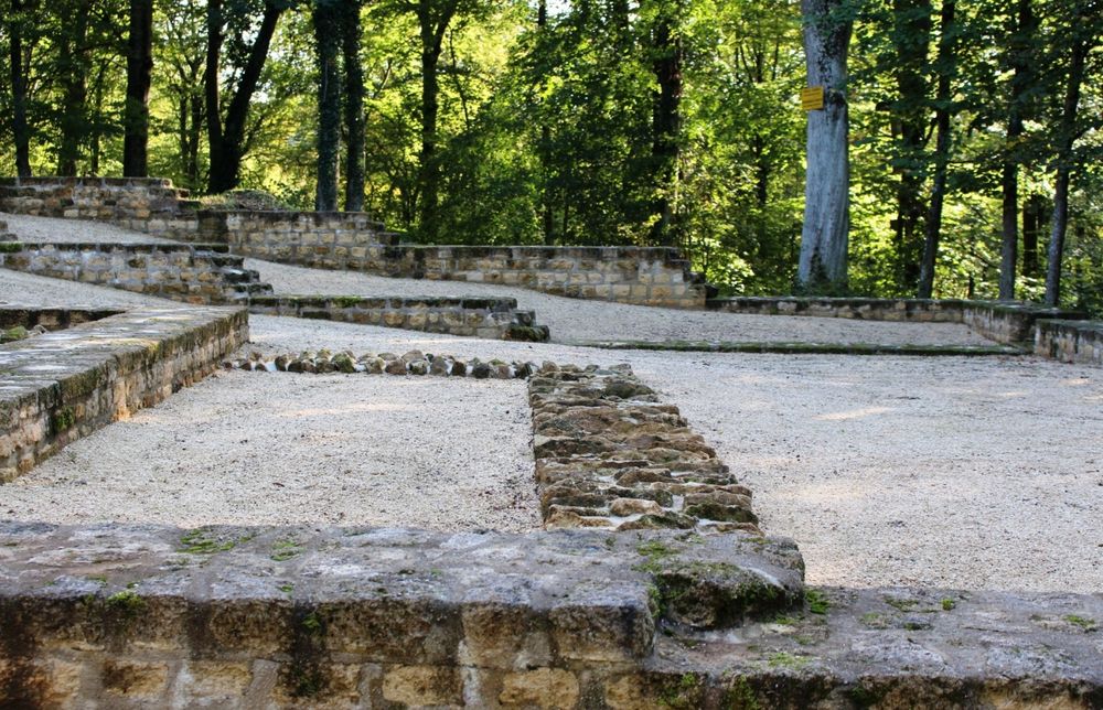
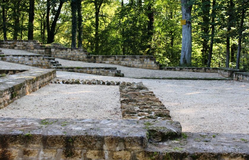
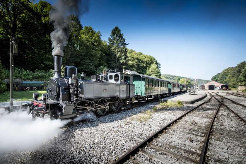
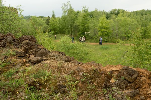
This tour combines two national rambling routes: at first, it follows the Sentier du Sud to reach the French border, then the Sentier des Mineurs to cross a wide forest. At Roudenhaff, the route leaves the border line in order to descend to the industrial and railway park at Fond-de-Gras which is worth visiting. Hikers then walk around Tëtelbierg hill with its interesting archeological sites and finally arrive at Rodange station via Lamadelaine.
© Editions Guy Binsfeld
Signposting
Directions
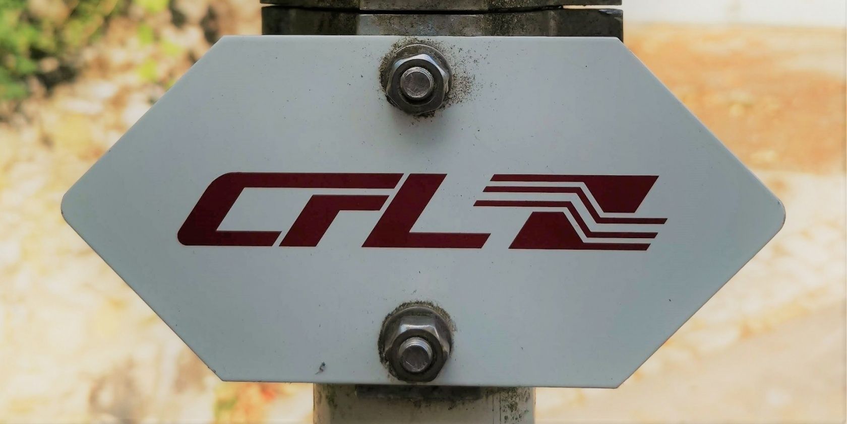
Please follow the signposts with the "CFL" label
For your safety
Remember to bring enough food and drinking water with you
Equipment
Remember to bring enough food and drinking water with you
Journey
Public transport: The start and finish are at a train station
Parking: Both train stations offer public parking
Parking: Both train stations offer public parking


 This website uses technology and content from the Outdooractive Platform.