Description
Hike on the regional hiking route Minett Trail between the Belval-Université and Esch-sur-Alzette train stations and discover the new heart of sciences and research in the new Belval district.
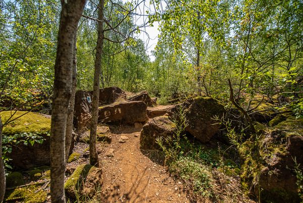
The Minett Trail is a 90-kilometer-long hiking route that runs across the Minett region. In ten stages, you can experience smaller and larger towns as well as eight nature reserves. These impress with old forests and former open-pit mining areas. With steep rock faces, red soil, and mine entrances, they are unique in Luxembourg.
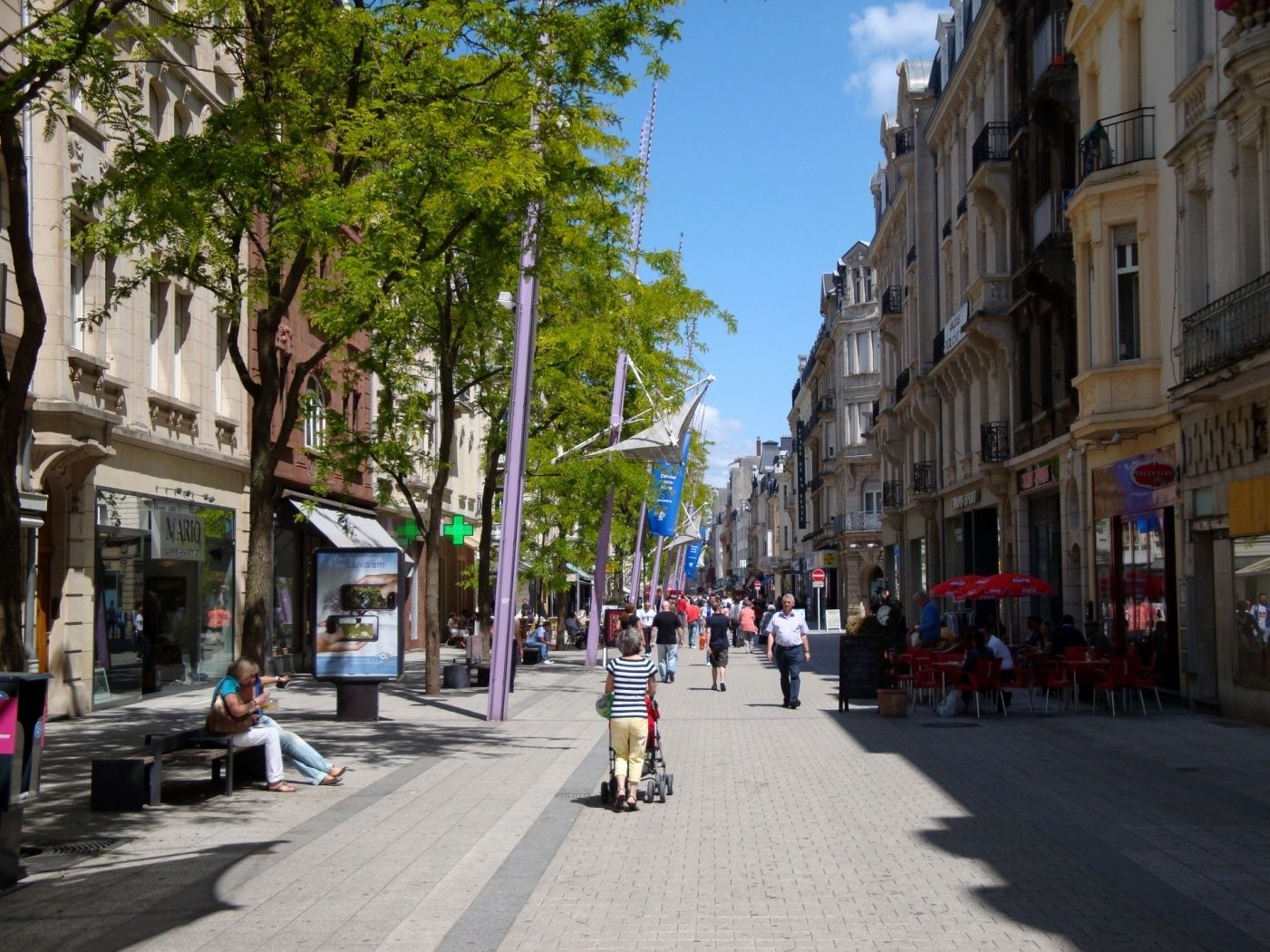
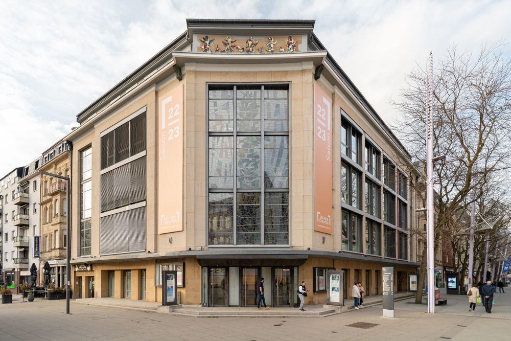
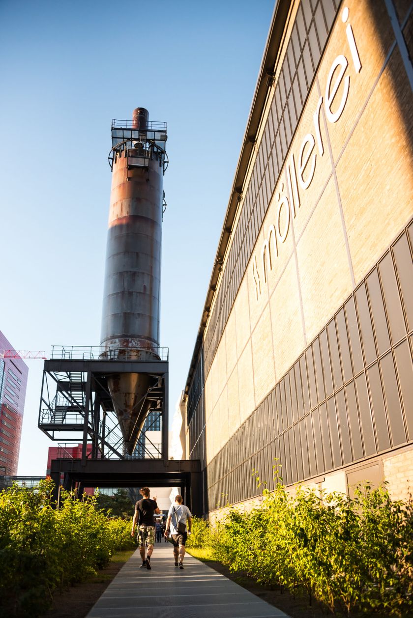
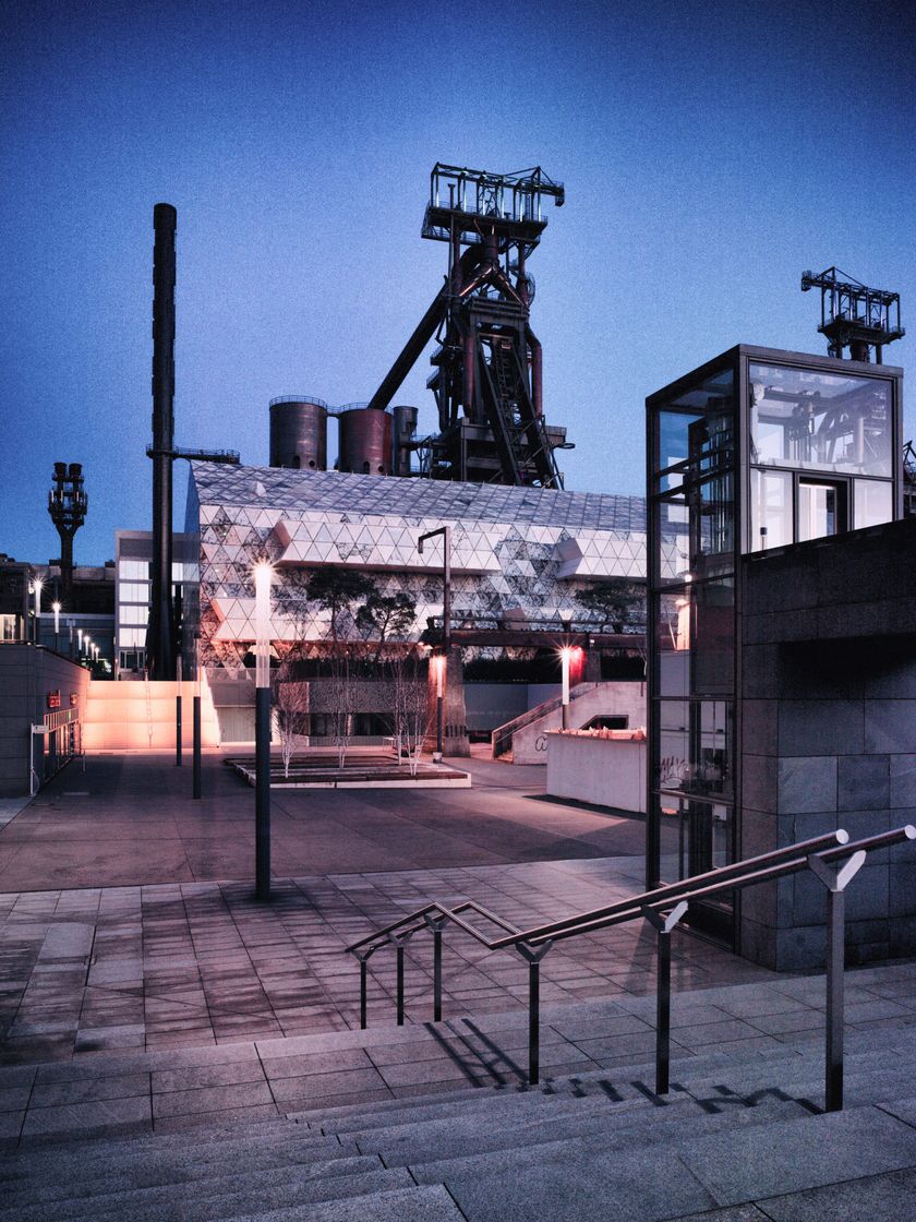
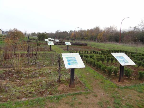
This section, with an alternative starting point, is wheelchair accessible. You hike between the new Belval district, which has rapidly developed for almost ten years, and the town of Esch-sur-Alzette. There is much to discover along this route: the former industrial wasteland has been made habitable and buildable again with great efforts; since then, the district, officially part of Esch-sur-Alzette, has been filled with new life. Whether cultural center (with the "Rockhal"), research or studies and sciences (Belval is also the location of the very young University of Luxembourg), or recreation, the site is a prime example of successful revitalization.

Signposting

Directions
Please follow the "Minett Trail" signage, which you can follow in both directions along the route.
The path of this section starts either at Belval-Université station or at the station in Esch-sur-Alzette. Look out for signs with three red arrows on a white background. They are marked "in sight" and may be attached to streetlights or other posts.
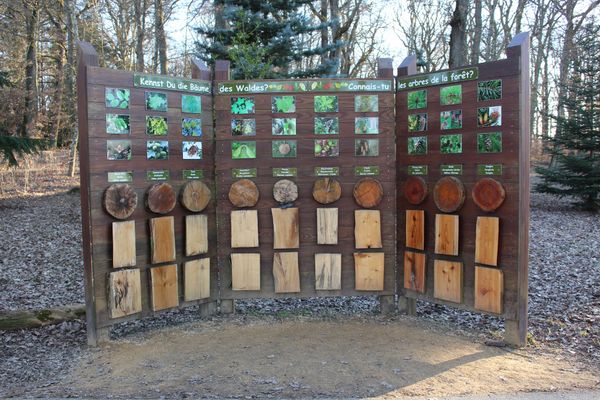
In nature, the marking is on trees and posts. At important junctions, you will also find signposts with arrows as direction indicators and information on the distance to specific points, as well as pictograms with hints to possible hiking destinations.
For your safety
Please note that the trail partly runs through urban areas via road crossings. Therefore, follow the designated signage.
Equipment
Please remember to wear appropriate clothing in case of bad weather.
Journey
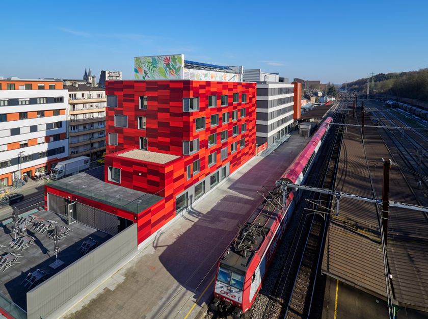
Start and finish are located at train stations. Direct trains to Luxembourg City run from here.
Parking:
Parking available on site.












 This website uses technology and content from the Outdooractive Platform.