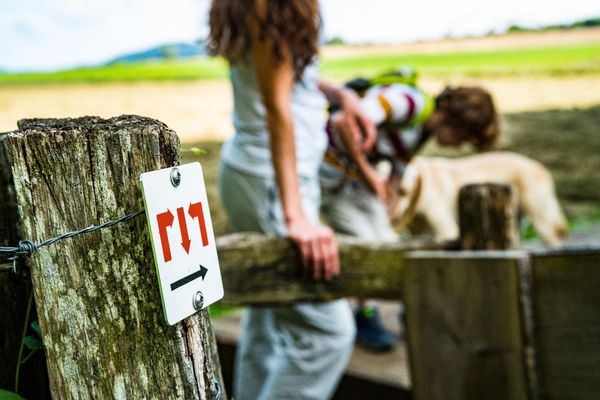
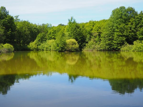
© Pulsa Pictures, ORT SUD
Minett Germany France

Didactic trail "Natura 2000" - Ellergronn

Hunting Season 2024/25 — Check for hunts before hiking

Autumn is here, and that means hunting season has begun! From mid-October to January/February, hunters are active across the country. Stay safe by checking hunt dates in your area on our Map. 

Click on Map in the Header > Services > More > Hunting.

Starting point
Centre Nature et Forêt Ellergronn - Rue Jean-Pierre Bausch L-4114 Esch-sur-Alzette
Destination
Centre Nature et Forêt Ellergronn - Rue Jean-Pierre Bausch L-4114 Esch-sur-Alzette
Distance
11,93 km
Duration
3:20 h
Difficulty
medium
  • Condition
Highest point
393 Hm
Lowest point
317 Hm
Aggregated Ascent
108 Hm
Aggregated Descent
114 Hm
Thematic paths Visit Luxembourg

Description

Reveries of the Solitary Walker?

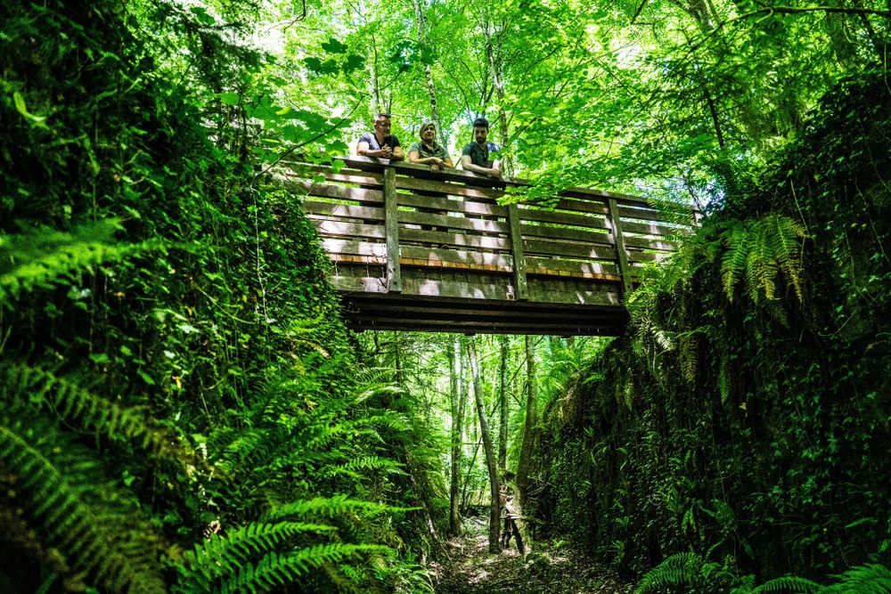
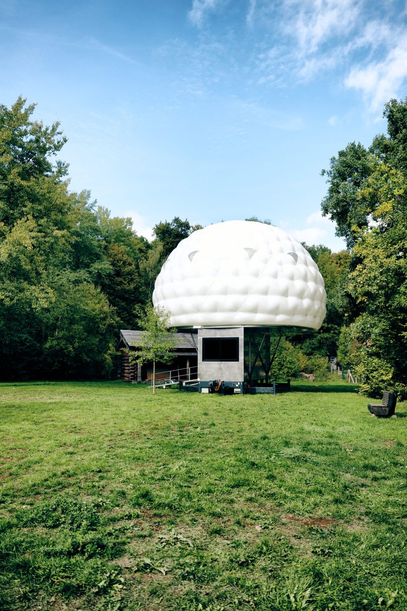
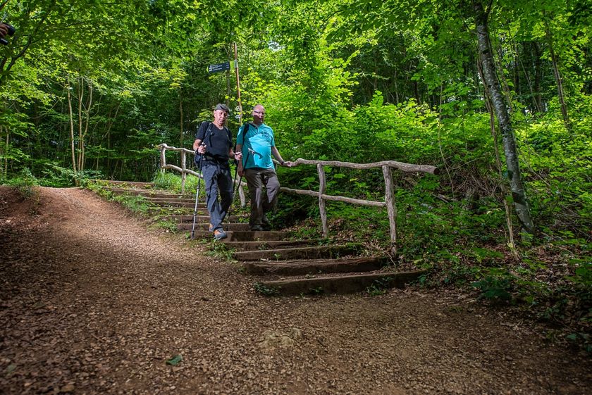
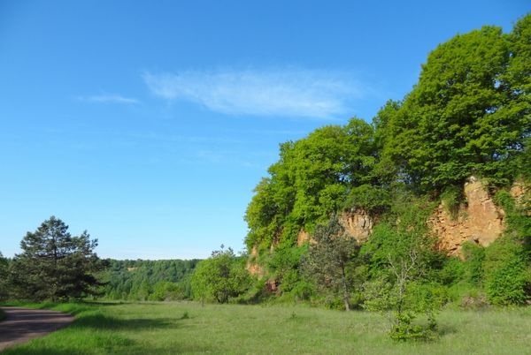
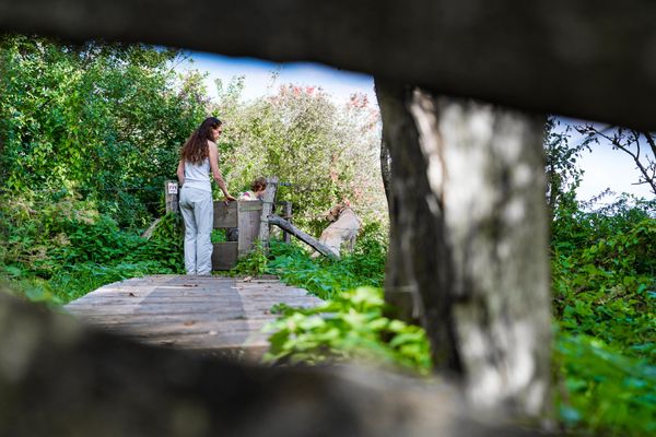
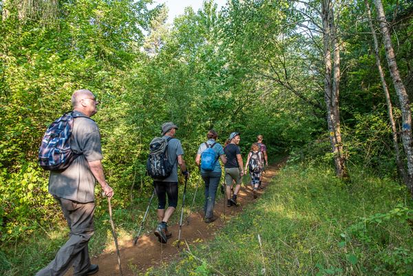
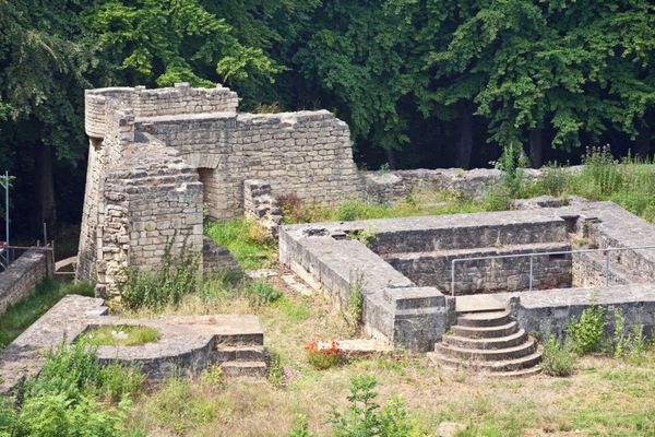
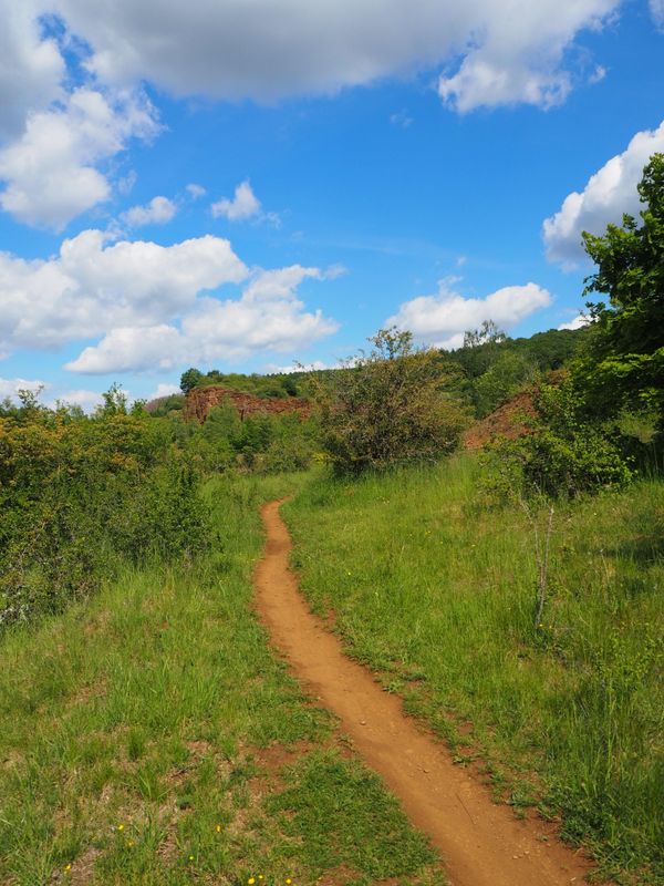
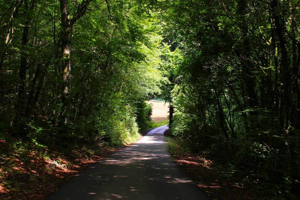
There is something for everyone on the Natura 2000 walking trail in Ellergronn. Divided into three different loops, each with its own theme, the Natura 2000 trail is the perfect opportunity to take a break and enjoy the various paths through nature.

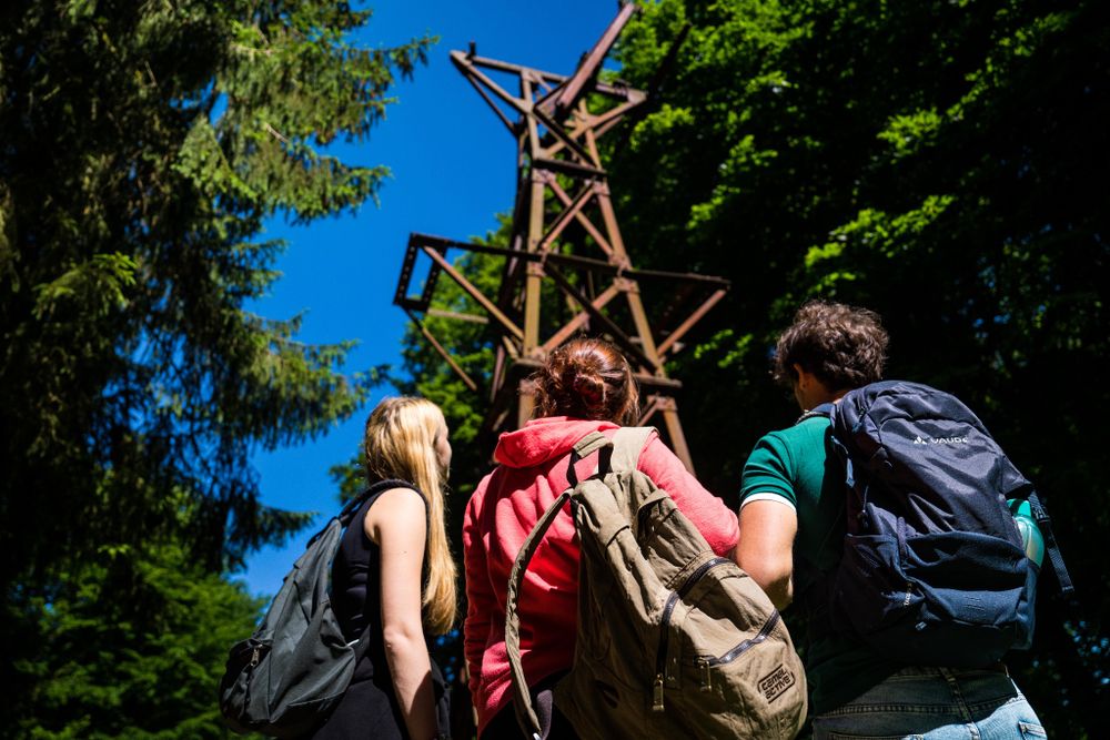
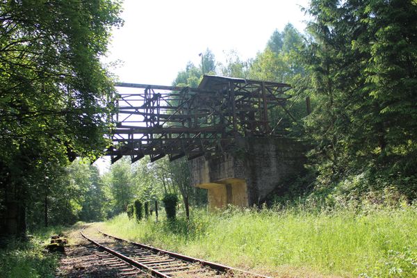
The shortest one is 2.5km long and starts at the animal shelter. Perfect for little legs and families with young children, this walk teaches kids about nature and the former open-pit mines. We discover that despite human intervention, nature still prevails. Mining activities ceased a few decades ago, and the land has since been reclaimed by mother nature.

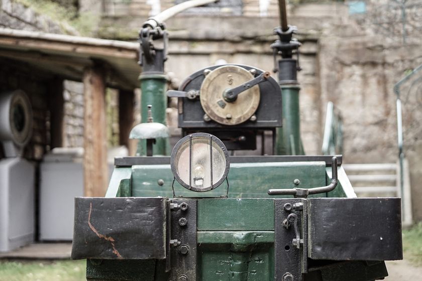
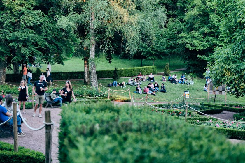
The second route is 4.5km long and begins in the municipal park on the "Gaalgebierg". On this trail, visitors can learn all about the exploitation of ore mining, both in the past and present.

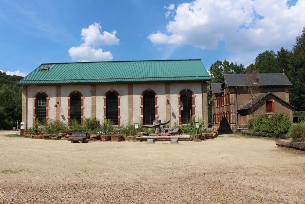
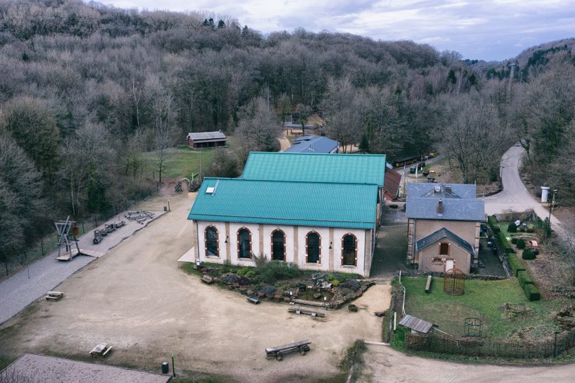
The third and longest route leaves from the Nature Conversation Center Ellergronn, taking hikers through 5km of forest, highlighting the relationship between humans and the woods.

And for the most avid hikers, all the three routes can be combined into a 12km hike, as shown on this tour. As Rousseau would say, the best daydreaming is done while walking…whether you’re alone or not!


Suggestions nearby

Didactic trail "Natura 2000" - Ellergronn

  • © ORT SUD
    Kabaisercher: Pump it up!
    AccessibleParking
  • © Ville d'Esch
    Centre nature et forêt Ellergronn
    Experience the diversity of nature and learn more about the relationships in the nature reserves
    Find out more
  • © Ville d'Esch
    Park Gaalgebierg
    A refreshing piece of green not far from the city center
    Find out more
  • © Pulsa Pictures ORT Sud
    Nature reserve "Ellergronn"
    From mining to nature reserve
    Find out more
  • © Ville d'Esch
    Museum of the Cockerill Mine at Ellergronn
    Exceptional legacy from the mining era
    Find out more

Similar hiking tours

© Visit Luxembourg
Circular routes
Circular trail "Sentier de la Crosnière"
Distance: 3,74 km
Duration: 1:05 h
Difficulty: medium
Find out more
© © Claude Piscitelli / ONT, Visit Luxembourg
Thematic paths
Geological Trail - "Giele Botter"
Distance: 2,43 km
Duration: 0:45 h
Difficulty: medium
Find out more
© ORT Sud
Circular routes
Auto-pédestre trail Abweiler
Distance: 8,85 km
Duration: 2:20 h
Difficulty: medium
Find out more
© ORT Sud
Circular routes
Auto-pédestre trail Belvaux
Distance: 9,44 km
Duration: 2:50 h
Difficulty: medium
Find out more
© ORT Sud
Circular routes
Auto-pédestre trail Rodange
Distance: 7,31 km
Duration: 2:10 h
Difficulty: medium
Find out more
© ORT Sud
Circular routes
Auto-pédestre trail Rumelange - Walert
Distance: 8,89 km
Duration: 2:25 h
Difficulty: medium
Find out more
© Pulsa Pictures, ORT Sud
Circular routes
Auto-pédestre trail Rumelange - Gare
Distance: 6,84 km
Duration: 2:05 h
Difficulty: medium
Find out more
© Pulsa Pictures, ORT SUD
Circular routes
Discovery trail "Prënzebierg - Giele Botter"
Distance: 7,65 km
Duration: 2:15 h
Difficulty: medium
Find out more
© Pulsa Pictures, Pulsa Pictures ORT Sud
Circular routes
Auto-pédestre trail Esch-sur-Alzette
Distance: 7,68 km
Duration: 2:10 h
Difficulty: medium
Find out more